


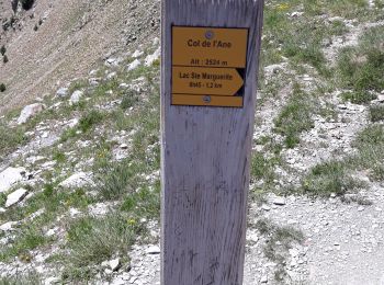
7,7 km | 13,7 km-effort
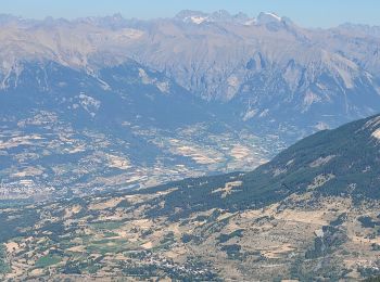
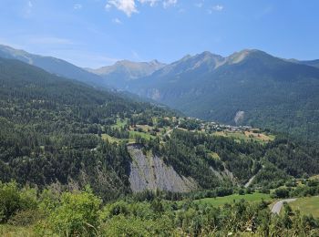
Les Orres: Ontdek de beste tochten: 137 te voet, 12 met de fiets of mountainbike en 1 te paard. Al deze tochten, trajecten, routes en outdoor activiteiten zijn beschikbaar in onze SityTrail-apps voor smartphones en tablets.
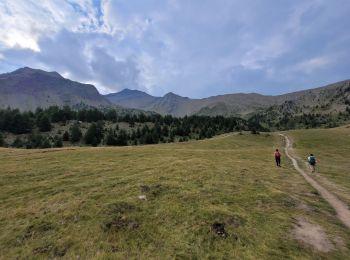
Stappen


Stappen
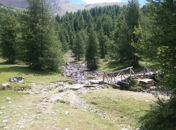
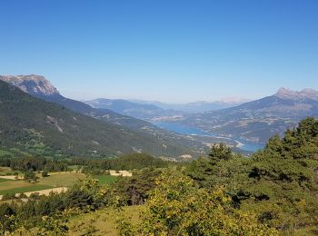
• montée vers le lac par chemin forestier puis descente par tourbière et chemin dans les melezines.
Stappen
Mountainbike
Stappen
Stappen
Stappen
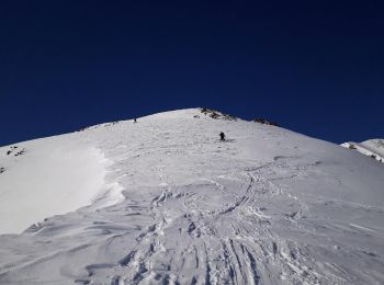
Ski randonnée

Sneeuwschoenen
Mountainbike
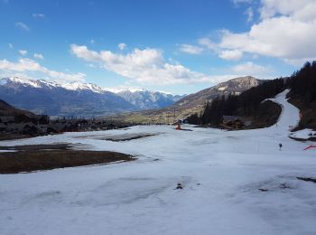
Ski randonnée
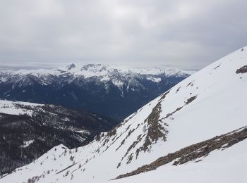
Ski randonnée
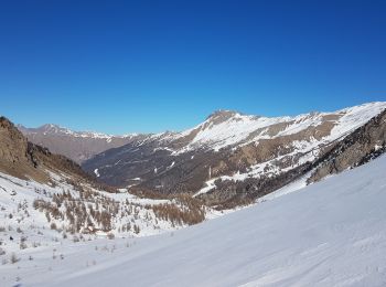
Ski randonnée
Sneeuwschoenen
Stappen
Stappen

Ski randonnée
Stappen
Stappen
Stappen
20 tochten weergegeven op 205
Gratisgps-wandelapplicatie
 SityTrail
IGN / Geografische instituten
SityTrail World
De wereld gaat voor u open