


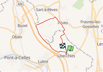

10,2 km | 12,6 km-effort


Gebruiker


Gratisgps-wandelapplicatie
 SityTrail
IGN / Geografische instituten
SityTrail World
De wereld gaat voor u open
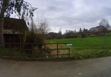
Tocht Noords wandelen van 9,7 km beschikbaar op Wallonië, Henegouwen, Pont-à-Celles. Deze tocht wordt voorgesteld door Castor65.
Marche Adeps

Stappen
Stappen
Stappen
Stappen
Mountainbike
Mountainbike
Stappen
Mountainbike
Mountainbike