


10,2 km | 12,6 km-effort
Pont-à-Celles: Ontdek de beste tochten: 72 te voet en 25 met de fiets of mountainbike. Al deze tochten, trajecten, routes en outdoor activiteiten zijn beschikbaar in onze SityTrail-apps voor smartphones en tablets.

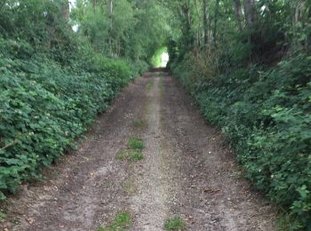
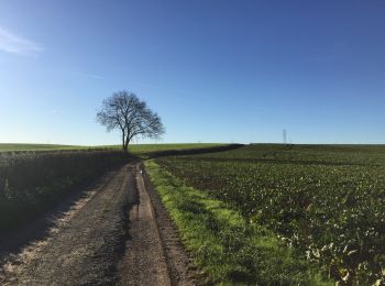
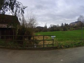
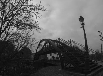
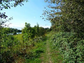
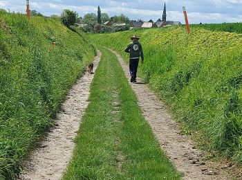
Stappen


• Détails de la rando sur TraceGPS.com http://www.tracegps.com/fr/parcours/circuit11651.htm
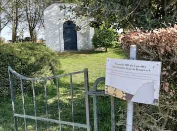
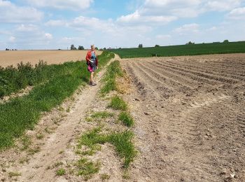
Stappen
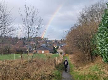
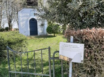
Stappen
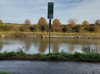
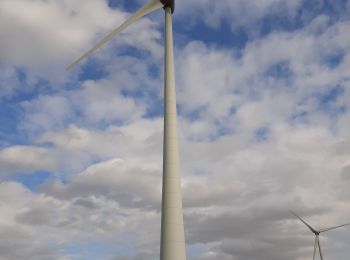
Mountainbike
Mountainbike
Stappen
• Détails de la rando sur le site TraceGPS.com http://www.tracegps.com/fr/parcours/circuit14203.htm

Stappen
Stappen
Stappen
Stappen
Stappen

Stappen
• rando en boucle
Stappen
Stappen

Stappen
Stappen
Stappen
Stappen
Stappen
Stappen
20 tochten weergegeven op 98
Gratisgps-wandelapplicatie
 SityTrail
IGN / Geografische instituten
SityTrail World
De wereld gaat voor u open