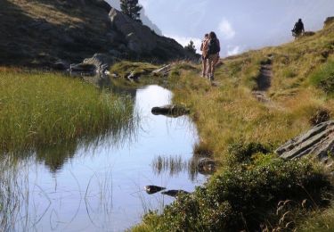
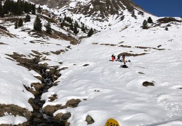
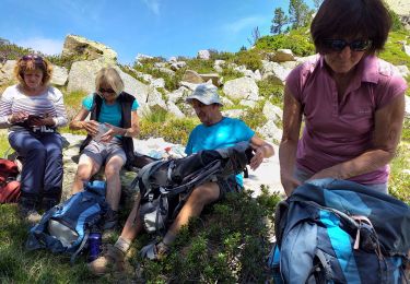
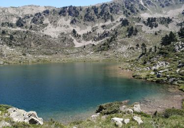
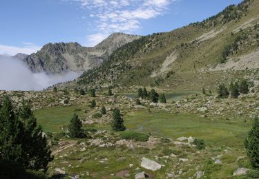
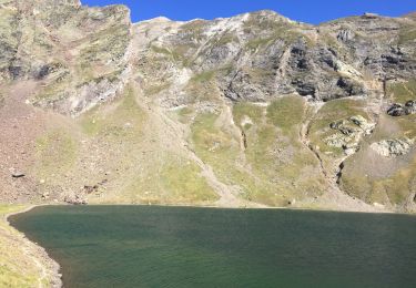
16 km | 34 km-effort
Sur le chemin du Pic du Midi
lviallet
Gebruiker
Lengte
10,7 km
Max. hoogte
2438 m
Positief hoogteverschil
524 m
Km-Effort
17,7 km
Min. hoogte
1934 m
Negatief hoogteverschil
527 m
Boucle
Ja
Datum van aanmaak :
2022-07-17 07:26:33.0
Laatste wijziging :
2022-07-17 12:46:16.316
3h33
Moeilijkheid : Moeilijk
Gratisgps-wandelapplicatie
Over ons
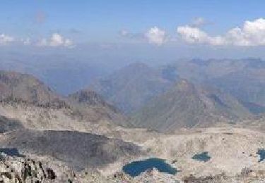
Tocht Stappen van 10,7 km beschikbaar op Occitanië, Hautes-Pyrénées, Sers. Deze tocht wordt voorgesteld door lviallet.
Plaatsbepaling
Land:
France
Regio :
Occitanië
Departement/Provincie :
Hautes-Pyrénées
Gemeente :
Sers
Locatie:
Unknown
Vertrek:(Dec)
Vertrek:(UTM)
266322 ; 4755176 (31T) N.
Opmerkingen
Wandeltochten in de omgeving
Pic des Trois Conseillers
Stappen
Zeer moeilijk
(1)
Barèges,
Occitanië,
Hautes-Pyrénées,
France
9h 0min
Ja
Pic de Madamète en boucle par les lacs
Stappen
Moeilijk
(1)
Barèges,
Occitanië,
Hautes-Pyrénées,
France
21 km | 40 km-effort
9h 0min
Ja
Plateau d’Aoube par la cabane d’Aoube
Paardrijden
Gemakkelijk
Sers,
Occitanië,
Hautes-Pyrénées,
France
7,4 km | 15,1 km-effort
4h 43min
Ja
En boucle, Grand Tourmalet- Aygues Cluses-Col de Madamète- Lac Dets Coubous.
Stappen
Moeilijk
(3)
Barèges,
Occitanië,
Hautes-Pyrénées,
France
16,7 km | 32 km-effort
6h 26min
Ja
Pic Midi Bigorres
Stappen
Moeilijk
(1)
Campan,
Occitanië,
Hautes-Pyrénées,
France
9,2 km | 25 km-effort
4h 30min
Neen
le circuit des 5 lacs
Stappen
Moeilijk
(2)
Barèges,
Occitanië,
Hautes-Pyrénées,
France
13,1 km | 24 km-effort
5h 13min
Ja
Grande boucle dans la région du Néouvielle
Te voet
Medium
Barèges,
Occitanië,
Hautes-Pyrénées,
France
16,5 km | 31 km-effort
7h 1min
Ja
Le lac d’oncet
Stappen
Gemakkelijk
Sers,
Occitanië,
Hautes-Pyrénées,
France
6,7 km | 11,3 km-effort
2h 30min
Ja
tourmalet G2 heit
Stappen
Heel gemakkelijk
Bagnères-de-Bigorre,
Occitanië,
Hautes-Pyrénées,
France
5,5 km | 11,6 km-effort
6h 37min
Ja