


7,4 km | 15,1 km-effort
Sers: Ontdek de beste tochten: 48 te voet, 3 met de fiets of mountainbike en 2 te paard. Al deze tochten, trajecten, routes en outdoor activiteiten zijn beschikbaar in onze SityTrail-apps voor smartphones en tablets.
Paardrijden


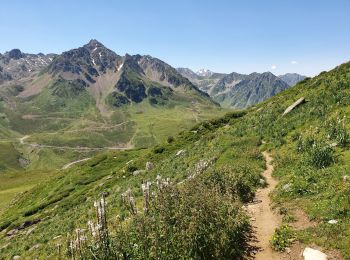
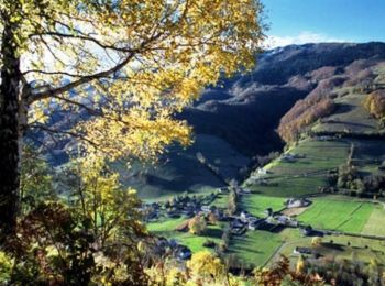
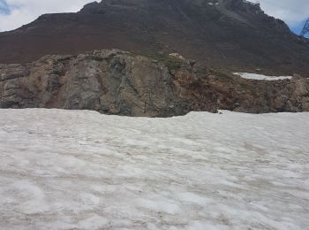
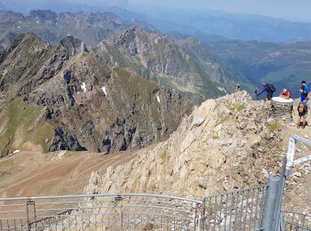
Stappen
Stappen
Stappen
Stappen

Stappen
Stappen

 11.188
sport
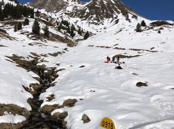
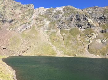
• Départ sur la D918 vers 1630m sur la gauche repérer la direction du Lac Bleu. Nous nous dirigerons vers les cabanes d...
Stappen

Stappen
Stappen
Stappen

Paardrijden
Stappen
Te voet
Stappen
Stappen
Stappen
Stappen

Mountainbike
• descente côté bareges
20 tochten weergegeven op 77
Gratisgps-wandelapplicatie
 SityTrail
IGN / Geografische instituten
SityTrail World
De wereld gaat voor u open