


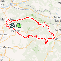


18,8 km | 25 km-effort


Gebruiker


Gratisgps-wandelapplicatie
 SityTrail
IGN / Geografische instituten
SityTrail World
De wereld gaat voor u open
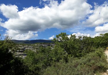
Tocht Fiets van 89 km beschikbaar op Provence-Alpes-Côte d'Azur, Vaucluse, Bédoin. Deze tocht wordt voorgesteld door bosses21.
1. Col de Notre Dame des Abeilles - 996m
2. Col des Tempêtes - 1829m
3. Mont Ventoux - 1911m
4. Col de la Madeleine - 448m

Stappen

Stappen
Stappen
Mountainbike
Stappen

Stappen

Stappen
Stappen

Stappen