


18,8 km | 25 km-effort
Bédoin: Ontdek de beste tochten: 284 te voet, 127 met de fiets of mountainbike en 3 te paard. Al deze tochten, trajecten, routes en outdoor activiteiten zijn beschikbaar in onze SityTrail-apps voor smartphones en tablets.
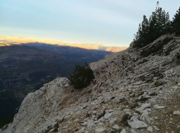
Stappen


Stappen
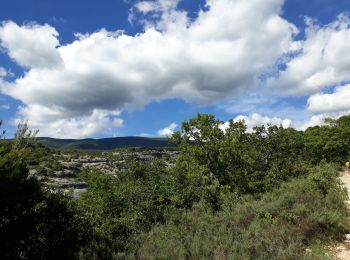
Mountainbike
Stappen
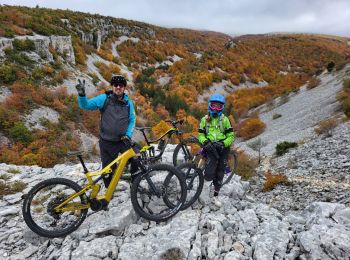
Mountainbike
Stappen
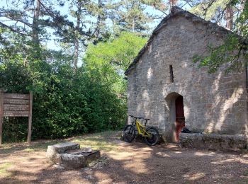
Mountainbike
Stappen
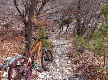
Mountainbike
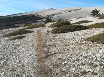
Mountainbike
Mountainbike
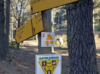
Stappen
Stappen
Stappen

Stappen
• ventoux sud

Stappen

Stappen
• Boucle

Stappen

Mountainbike
Stappen
20 tochten weergegeven op 437
Gratisgps-wandelapplicatie
 SityTrail
IGN / Geografische instituten
SityTrail World
De wereld gaat voor u open