


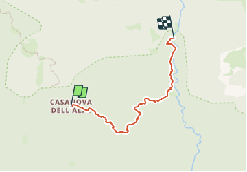

11,1 km | 21 km-effort

Tous les sentiers balisés d’Europe GUIDE+


Gratisgps-wandelapplicatie
 SityTrail
IGN / Geografische instituten
SityTrail World
De wereld gaat voor u open
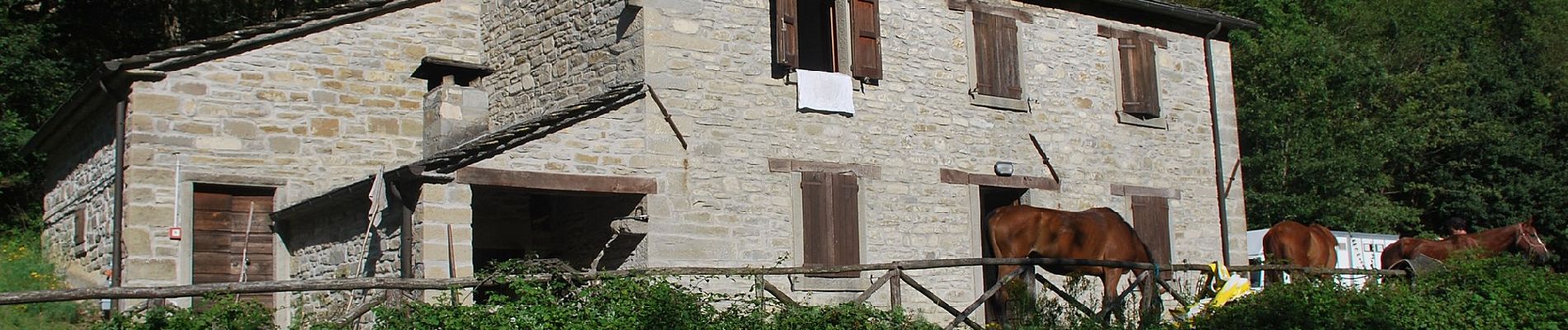
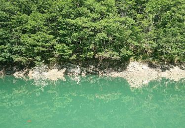
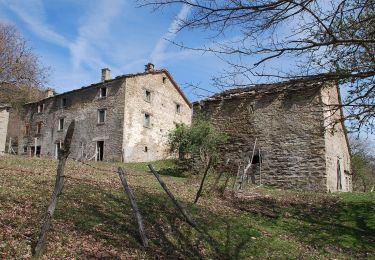
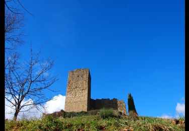
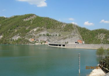
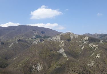
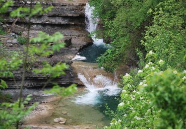
Tocht Te voet van 4,9 km beschikbaar op Emilia-Romagna, Forlì-Cesena, Bagno di Romagna. Deze tocht wordt voorgesteld door SityTrail - itinéraires balisés pédestres.
Trail created by CAI Cesena.
Symbol: 221 on white red flag
Website: http://www.caicesena.com/


Te voet

Te voet
Te voet
Te voet
Te voet
Te voet
Te voet
Te voet
Te voet