
- Tochten
- Outdoor
- Italy
- Emilia-Romagna
- Forlì-Cesena
- Bagno di Romagna
Bagno di Romagna, Forlì-Cesena: Top van de beste wandelroutes, trajecten, tochten en wandelingen
Bagno di Romagna: Ontdek de beste tochten: 52 te voet. Al deze tochten, trajecten, routes en outdoor activiteiten zijn beschikbaar in onze SityTrail-apps voor smartphones en tablets.
De beste trajecten (52)
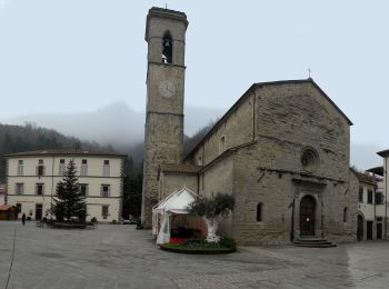
Km
Te voet


• Symbol: 167B on white red flags

Km
Te voet


• Symbol: 167A on white red flags
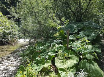
Km
Te voet


• Symbol: 161A on white red flags

Km
Te voet


• Symbol: 159B on white red flags
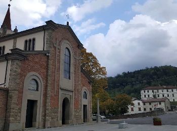
Km
Te voet


• Symbol: 115 on white red flags

Km
Te voet


• Trail created by Comune di Bagno di Romagna.
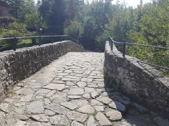
Km
Te voet


• Trail created by Comune di Bagno di Romagna. Symbol: 149 on white red flags
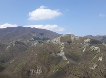
Km
Te voet


• Trail created by Parco Nazionale Foreste Casentinesi.
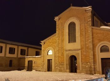
Km
Te voet


• Trail created by Parco Nazionale Foreste Casentinesi.

Km
Te voet


• Trail created by Parco Nazionale Foreste Casentinesi.
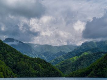
Km
Te voet


• Trail created by Parco Nazionale Foreste Casentinesi.
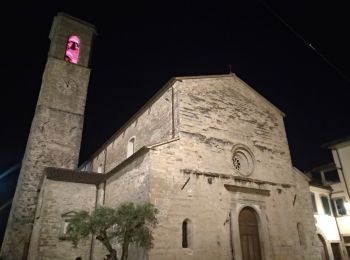
Km
Te voet


• Trail created by Parco Nazionale Foreste Casentinesi.
Km
Te voet


• Trail created by Parco Nazionale Foreste Casentinesi.
Km
Te voet


• Trail created by UNIONE DEI COMUNI.

Km
Te voet


• Trail created by UNIONE DEI COMUNI.
Km
Te voet


• Trail created by Comune di Bagno di Romagna.
Km
Te voet


• Trail created by Unione di Comuni della Romagna Forlivese.

Km
Te voet


• Trail created by CAI Cesena. Symbol: 161 on white red flags
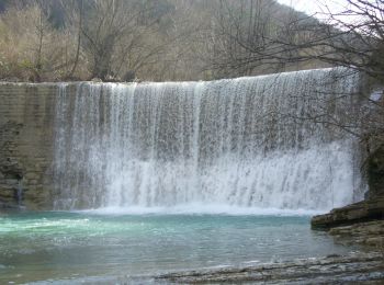
Km
Te voet


• Trail created by Comune di Bagno di Romagna. Symbol: rettangolo rosso con banda orizzontale bianca. testo in nero
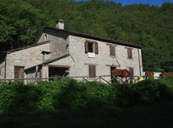
Km
Te voet


• Trail created by CAI Cesena. Symbol: 221 on white red flag Website: http://www.caicesena.com/
20 tochten weergegeven op 52
Gratisgps-wandelapplicatie


 SityTrail


