


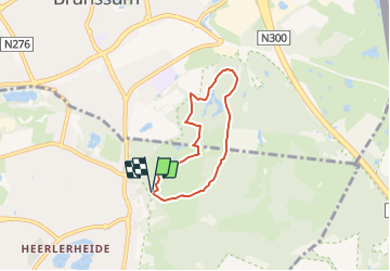

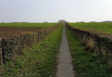
13 km | 15,3 km-effort

Tous les sentiers balisés d’Europe GUIDE+


Gratisgps-wandelapplicatie
 SityTrail
IGN / Geografische instituten
SityTrail World
De wereld gaat voor u open
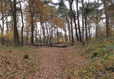
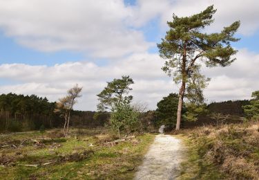
Tocht Te voet van 4,5 km beschikbaar op Limburg, Onbekend, Heerlen. Deze tocht wordt voorgesteld door SityTrail - itinéraires balisés pédestres.
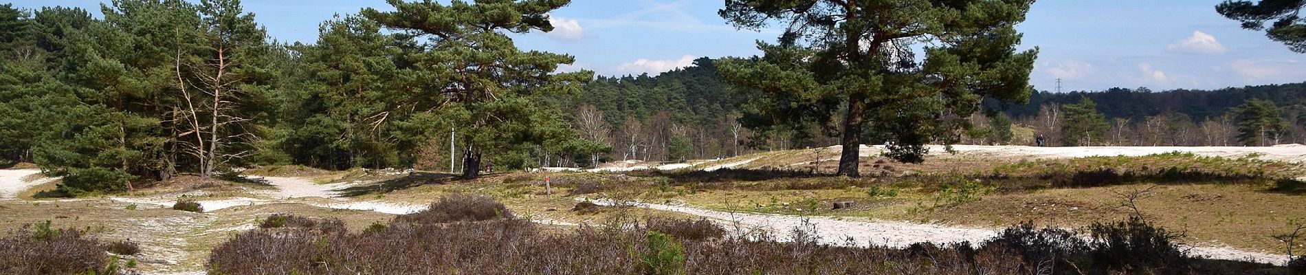
Trail created by Natuurmonumenten.
Symbol: Black pole with light blue bar just below top


Stappen

Stappen
Stappen
Te voet
Te voet
Te voet

Te voet
Te voet
Te voet