


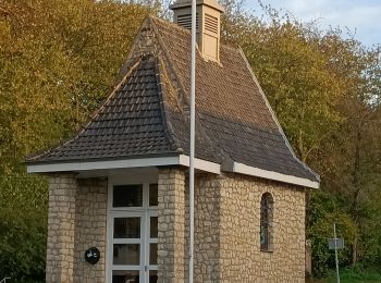
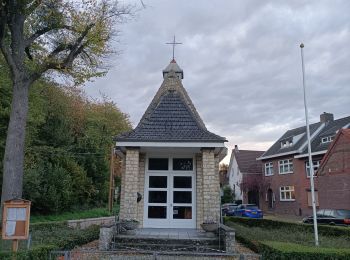
5,7 km | 7,3 km-effort
Heerlen: Ontdek de beste tochten: 23 te voet en 5 met de fiets of mountainbike. Al deze tochten, trajecten, routes en outdoor activiteiten zijn beschikbaar in onze SityTrail-apps voor smartphones en tablets.
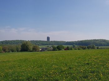
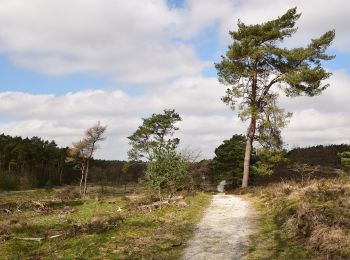
Te voet


• Trail created by Natuurmonumenten.
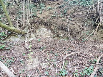
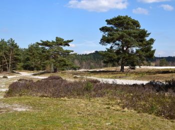
Te voet
• Trail created by Natuurmonumenten.
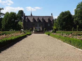
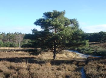
Te voet
• Trail created by Natuurmonumenten.
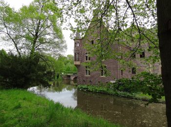
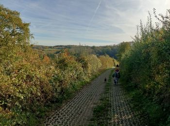
Te voet
• Trail created by Terworm. Symbol: Black pole with yellow bar just below top
Te voet
• Trail created by Terworm. Symbol: Black pole with blue bar just below top
Te voet
• Trail created by Natuurmonumenten. Symbol: Black pole with lime bar just below top
Te voet
• Trail created by Natuurmonumenten. Symbol: Black pole with light blue bar just below top
Te voet
• Trail created by Natuurmonumenten. Symbol: Black pole with green bar just below top
Stappen
Stappen
Stappen

Stappen
Stappen

Motor
• More information on GPStracks.nl : http://www.gpstracks.nl
Motor
• More information on GPStracks.nl : http://www.gpstracks.nl

Fiets
• More information on GPStracks.nl : http://www.gpstracks.nl
Fiets
• More information on GPStracks.nl : http://www.gpstracks.nl
Fiets
• More information on GPStracks.nl : http://www.gpstracks.nl
Fiets
• More information on GPStracks.nl : http://www.gpstracks.nl
Mountainbike
• More information on GPStracks.nl : http://www.gpstracks.nl
20 tochten weergegeven op 30
Gratisgps-wandelapplicatie
 SityTrail
IGN / Geografische instituten
SityTrail World
De wereld gaat voor u open