


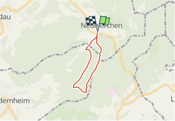

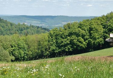
5,4 km | 7,9 km-effort

Tous les sentiers balisés d’Europe GUIDE+


Gratisgps-wandelapplicatie
 SityTrail
IGN / Geografische instituten
SityTrail World
De wereld gaat voor u open
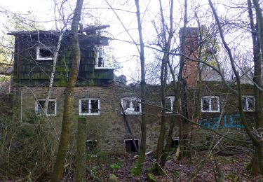
Tocht Te voet van 4 km beschikbaar op Hessen, Landkreis Darmstadt-Dieburg, Modautal. Deze tocht wordt voorgesteld door SityTrail - itinéraires balisés pédestres.
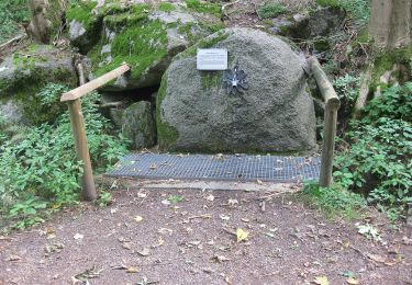
Trail created by Geo-Naturpark Bergstraße-Odenwald.
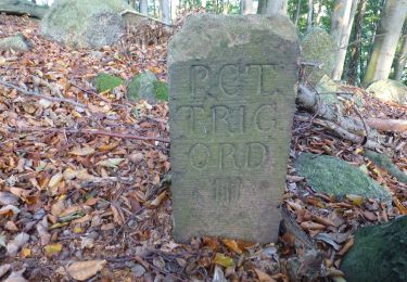
Symbol: white 2 in a white circle with N in a break at the top of the circle


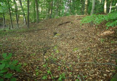
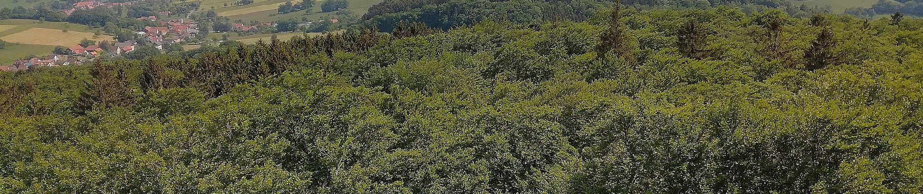
Te voet

Te voet
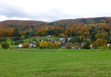
Te voet
Te voet

Te voet
Te voet
Te voet
Te voet
Te voet