![](/images/other/stat-length.png)
Modautal, Landkreis Darmstadt-Dieburg: Top van de beste wandelroutes, trajecten, tochten en wandelingen
Modautal: Ontdek de beste tochten: 15 te voet. Al deze tochten, trajecten, routes en outdoor activiteiten zijn beschikbaar in onze SityTrail-apps voor smartphones en tablets.
De beste trajecten (15)
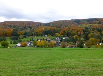
![Tocht Te voet Modautal - Rundwanderweg Modautal 3 - Photo](https://media.geolcdn.com/t/350/260/d525178e-8615-44ff-8feb-4245a6ece752.jpeg&format=jpg&maxdim=2)
![Te voet Te voet](https://static1.geolcdn.com/sitytour/trail-icons/100.png)
Km
Te voet
![](/images/other/stat-length.png)
![](https://static1.geolcdn.com/siteimages/upload/files/1508320355ic_sort_den_pos_24dp.png)
![](https://static1.geolcdn.com/siteimages/upload/files/1508320355ic_sort_den_neg_24dp.png)
![](https://static1.geolcdn.com/siteimages/upload/files/16400158638029165_repeat_loop_refresh_sync_direction_icon.png)
• Trail created by Geo-Naturpark Bergstraße-Odenwald. Symbol: white 3 in a white circle with M in a break at the top o...
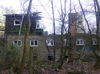
![Tocht Te voet Modautal - Rundwanderweg Fischbachtal 4: Steinau Weg - Photo](https://media.geolcdn.com/t/350/260/da816d37-44a7-420a-ad00-1eb7ad6875df.jpeg&format=jpg&maxdim=2)
![Te voet Te voet](https://static1.geolcdn.com/sitytour/trail-icons/100.png)
Km
Te voet
![](/images/other/stat-length.png)
![](https://static1.geolcdn.com/siteimages/upload/files/1508320355ic_sort_den_pos_24dp.png)
![](https://static1.geolcdn.com/siteimages/upload/files/1508320355ic_sort_den_neg_24dp.png)
![](https://static1.geolcdn.com/siteimages/upload/files/16400158638029165_repeat_loop_refresh_sync_direction_icon.png)
• Trail created by Geo-Naturpark Bergstraße-Odenwald. Symbol: white 4 in a white circle with F in a break at the top o...
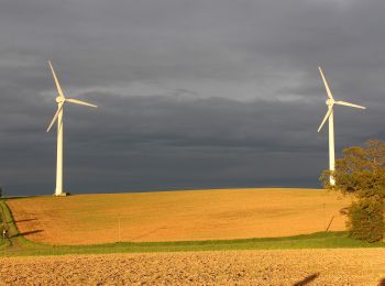
![Tocht Te voet Modautal - Rundwanderweg Modautal Am Junkernkopf 5: Allertshöfer Tannenweg - Photo](https://media.geolcdn.com/t/350/260/9e0193bf-5576-420d-9d8d-c44f24bb4204.jpeg&format=jpg&maxdim=2)
![Te voet Te voet](https://static1.geolcdn.com/sitytour/trail-icons/100.png)
Km
Te voet
![](/images/other/stat-length.png)
![](https://static1.geolcdn.com/siteimages/upload/files/1508320355ic_sort_den_pos_24dp.png)
![](https://static1.geolcdn.com/siteimages/upload/files/1508320355ic_sort_den_neg_24dp.png)
![](https://static1.geolcdn.com/siteimages/upload/files/16400158638029165_repeat_loop_refresh_sync_direction_icon.png)
• Trail created by Geo-Naturpark Bergstraße-Odenwald. Symbol: yellow 5 in yellow circle
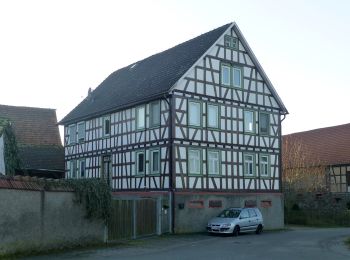
![Tocht Te voet Modautal - Rundwanderweg Lützelbach 2 - Photo](https://media.geolcdn.com/t/350/260/3dbfefc4-e6c9-4554-bd7a-29d77e53faf3.jpeg&format=jpg&maxdim=2)
![Te voet Te voet](https://static1.geolcdn.com/sitytour/trail-icons/100.png)
Km
Te voet
![](/images/other/stat-length.png)
![](https://static1.geolcdn.com/siteimages/upload/files/1508320355ic_sort_den_pos_24dp.png)
![](https://static1.geolcdn.com/siteimages/upload/files/1508320355ic_sort_den_neg_24dp.png)
![](https://static1.geolcdn.com/siteimages/upload/files/16400158638029165_repeat_loop_refresh_sync_direction_icon.png)
• Trail created by Geo-Naturpark Bergstraße-Odenwald. Symbol: white 2 in a white circle with L in a break at the top o...
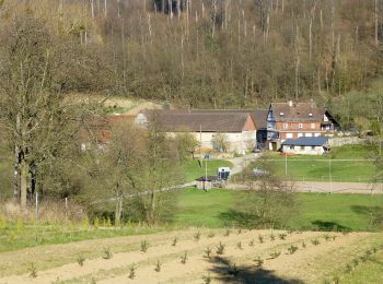
![Tocht Te voet Modautal - Ortsrundwanderweg Klein-Bieberau 2 : - Photo](https://media.geolcdn.com/t/350/260/f0f95eb6-5bf2-4f2c-a8dc-57b99265b3bf.jpeg&format=jpg&maxdim=2)
![Te voet Te voet](https://static1.geolcdn.com/sitytour/trail-icons/100.png)
Km
Te voet
![](/images/other/stat-length.png)
![](https://static1.geolcdn.com/siteimages/upload/files/1508320355ic_sort_den_pos_24dp.png)
![](https://static1.geolcdn.com/siteimages/upload/files/1508320355ic_sort_den_neg_24dp.png)
![](https://static1.geolcdn.com/siteimages/upload/files/16400158638029165_repeat_loop_refresh_sync_direction_icon.png)
• Trail created by Geo-Naturpark Bergstraße-Odenwald. Symbol: white 2 in a white circle with KB in a break at the top ...
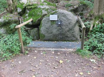
![Tocht Te voet Modautal - Rundwanderweg Lautertal Rauhestein 2: Modauquelle-Weg - Photo](https://media.geolcdn.com/t/350/260/fcc592b3-114d-496d-8742-ccf97edd0502.jpeg&format=jpg&maxdim=2)
![Te voet Te voet](https://static1.geolcdn.com/sitytour/trail-icons/100.png)
Km
Te voet
![](/images/other/stat-length.png)
![](https://static1.geolcdn.com/siteimages/upload/files/1508320355ic_sort_den_pos_24dp.png)
![](https://static1.geolcdn.com/siteimages/upload/files/1508320355ic_sort_den_neg_24dp.png)
![](https://static1.geolcdn.com/siteimages/upload/files/16400158638029165_repeat_loop_refresh_sync_direction_icon.png)
• Trail created by Geo-Naturpark Bergstraße-Odenwald. Symbol: yellow 2 in a yellow circle
![Tocht Te voet Modautal - Rundwanderweg Modautal Johannesberg 3: Jockelswiesen-Weg - Photo](https://media.geolcdn.com/t/350/260/d525178e-8615-44ff-8feb-4245a6ece752.jpeg&format=jpg&maxdim=2)
![Te voet Te voet](https://static1.geolcdn.com/sitytour/trail-icons/100.png)
Km
Te voet
![](/images/other/stat-length.png)
![](https://static1.geolcdn.com/siteimages/upload/files/1508320355ic_sort_den_pos_24dp.png)
![](https://static1.geolcdn.com/siteimages/upload/files/1508320355ic_sort_den_neg_24dp.png)
![](https://static1.geolcdn.com/siteimages/upload/files/16400158638029165_repeat_loop_refresh_sync_direction_icon.png)
• Trail created by Geo-Naturpark Bergstraße-Odenwald. Symbol: yellow 3 in a yellow circle
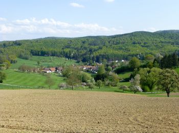
![Tocht Te voet Modautal - Rundwanderweg Modautal 2 - Photo](https://media.geolcdn.com/t/350/260/ef159c3f-7702-48f5-ae31-a309cbfdee28.jpeg&format=jpg&maxdim=2)
![Te voet Te voet](https://static1.geolcdn.com/sitytour/trail-icons/100.png)
Km
Te voet
![](/images/other/stat-length.png)
![](https://static1.geolcdn.com/siteimages/upload/files/1508320355ic_sort_den_pos_24dp.png)
![](https://static1.geolcdn.com/siteimages/upload/files/1508320355ic_sort_den_neg_24dp.png)
![](https://static1.geolcdn.com/siteimages/upload/files/16400158638029165_repeat_loop_refresh_sync_direction_icon.png)
• Trail created by Geo-Naturpark Bergstraße-Odenwald. Symbol: white 2 in a white circle with M in a break at the top o...
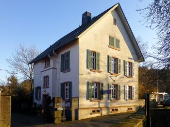
![Tocht Te voet Modautal - Rundwanderweg Neunkirchen 3 - Photo](https://media.geolcdn.com/t/350/260/70ffd189-09fa-45fc-95ff-3979e9433c1e.jpeg&format=jpg&maxdim=2)
![Te voet Te voet](https://static1.geolcdn.com/sitytour/trail-icons/100.png)
Km
Te voet
![](/images/other/stat-length.png)
![](https://static1.geolcdn.com/siteimages/upload/files/1508320355ic_sort_den_pos_24dp.png)
![](https://static1.geolcdn.com/siteimages/upload/files/1508320355ic_sort_den_neg_24dp.png)
![](https://static1.geolcdn.com/siteimages/upload/files/16400158638029165_repeat_loop_refresh_sync_direction_icon.png)
• Trail created by Geo-Naturpark Bergstraße-Odenwald. Symbol: white 3 in a white circle with N in a break at the top o...
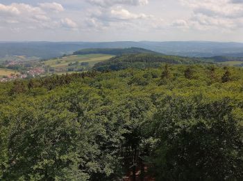
![Tocht Te voet Modautal - Rundwanderweg Neunkirchen 2 - Photo](https://media.geolcdn.com/t/350/260/8909a7f6-f85d-47a9-a440-495b0cf590da.jpeg&format=jpg&maxdim=2)
![Te voet Te voet](https://static1.geolcdn.com/sitytour/trail-icons/100.png)
Km
Te voet
![](/images/other/stat-length.png)
![](https://static1.geolcdn.com/siteimages/upload/files/1508320355ic_sort_den_pos_24dp.png)
![](https://static1.geolcdn.com/siteimages/upload/files/1508320355ic_sort_den_neg_24dp.png)
![](https://static1.geolcdn.com/siteimages/upload/files/16400158638029165_repeat_loop_refresh_sync_direction_icon.png)
• Trail created by Geo-Naturpark Bergstraße-Odenwald. Symbol: white 2 in a white circle with N in a break at the top o...
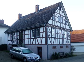
![Tocht Te voet Modautal - Rundwanderweg Lützelbach 3 - Photo](https://media.geolcdn.com/t/350/260/3b4f6e61-0ddd-4bc9-9f7e-fb61f5adbfff.jpeg&format=jpg&maxdim=2)
![Te voet Te voet](https://static1.geolcdn.com/sitytour/trail-icons/100.png)
Km
Te voet
![](/images/other/stat-length.png)
![](https://static1.geolcdn.com/siteimages/upload/files/1508320355ic_sort_den_pos_24dp.png)
![](https://static1.geolcdn.com/siteimages/upload/files/1508320355ic_sort_den_neg_24dp.png)
![](https://static1.geolcdn.com/siteimages/upload/files/16400158638029165_repeat_loop_refresh_sync_direction_icon.png)
• Trail created by Geo-Naturpark Bergstraße-Odenwald. Symbol: white 3 in a white circle with L in a break at the top o...
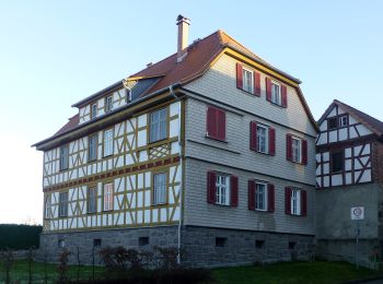
![Tocht Te voet Modautal - Rundwanderweg Lützelbach 1 - Photo](https://media.geolcdn.com/t/350/260/82777638-d571-49fd-aa8b-52aa09c2a9df.jpeg&format=jpg&maxdim=2)
![Te voet Te voet](https://static1.geolcdn.com/sitytour/trail-icons/100.png)
Km
Te voet
![](/images/other/stat-length.png)
![](https://static1.geolcdn.com/siteimages/upload/files/1508320355ic_sort_den_pos_24dp.png)
![](https://static1.geolcdn.com/siteimages/upload/files/1508320355ic_sort_den_neg_24dp.png)
![](https://static1.geolcdn.com/siteimages/upload/files/16400158638029165_repeat_loop_refresh_sync_direction_icon.png)
• Trail created by Geo-Naturpark Bergstraße-Odenwald. Symbol: white 1 in a white circle with L in a break at the top o...
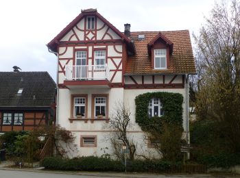
![Tocht Te voet Modautal - Rundwanderweg Modautal Am Kirchwald 2: Kohlwald-Weg - Photo](https://media.geolcdn.com/t/350/260/4d093347-b448-4945-a138-384231958cd8.jpeg&format=jpg&maxdim=2)
![Te voet Te voet](https://static1.geolcdn.com/sitytour/trail-icons/100.png)
Km
Te voet
![](/images/other/stat-length.png)
![](https://static1.geolcdn.com/siteimages/upload/files/1508320355ic_sort_den_pos_24dp.png)
![](https://static1.geolcdn.com/siteimages/upload/files/1508320355ic_sort_den_neg_24dp.png)
![](https://static1.geolcdn.com/siteimages/upload/files/16400158638029165_repeat_loop_refresh_sync_direction_icon.png)
• Trail created by Geo-Naturpark Bergstraße-Odenwald. Symbol: yellow 2 in yellow circle
![Tocht Te voet Modautal - Rundwanderweg Neunkirchen 1 - Photo](https://media.geolcdn.com/t/350/260/ext.jpg?maxdim=2&url=https%3A%2F%2Fstatic1.geolcdn.com%2Fsiteimages%2Fupload%2Ffiles%2F1545311037marcheuse_200dpi.jpg)
![Te voet Te voet](https://static1.geolcdn.com/sitytour/trail-icons/100.png)
Km
Te voet
![](/images/other/stat-length.png)
![](https://static1.geolcdn.com/siteimages/upload/files/1508320355ic_sort_den_pos_24dp.png)
![](https://static1.geolcdn.com/siteimages/upload/files/1508320355ic_sort_den_neg_24dp.png)
![](https://static1.geolcdn.com/siteimages/upload/files/16400158638029165_repeat_loop_refresh_sync_direction_icon.png)
• Trail created by Geo-Naturpark Bergstraße-Odenwald. Symbol: white 1 in a white circle with N in a break at the top o...
![Tocht Te voet Modautal - Rundwanderweg Modautal Am Hirtenacker 2: Tannenkopf-Weg - Photo](https://media.geolcdn.com/t/350/260/ext.jpg?maxdim=2&url=https%3A%2F%2Fstatic1.geolcdn.com%2Fsiteimages%2Fupload%2Ffiles%2F1545311037marcheuse_200dpi.jpg)
![Te voet Te voet](https://static1.geolcdn.com/sitytour/trail-icons/100.png)
Km
Te voet
![](/images/other/stat-length.png)
![](https://static1.geolcdn.com/siteimages/upload/files/1508320355ic_sort_den_pos_24dp.png)
![](https://static1.geolcdn.com/siteimages/upload/files/1508320355ic_sort_den_neg_24dp.png)
![](https://static1.geolcdn.com/siteimages/upload/files/16400158638029165_repeat_loop_refresh_sync_direction_icon.png)
• Trail created by Geo-Naturpark Bergstraße-Odenwald. Symbol: yellow 2 in a yellow circle
15 tochten weergegeven op 15
Gratisgps-wandelapplicatie