


11,9 km | 23 km-effort

Gebruiker


Gratisgps-wandelapplicatie
 SityTrail
IGN / Geografische instituten
SityTrail World
De wereld gaat voor u open
Tocht Stappen van 11,3 km beschikbaar op Occitanië, Ariège, Saurat. Deze tocht wordt voorgesteld door chrisgps.
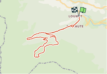
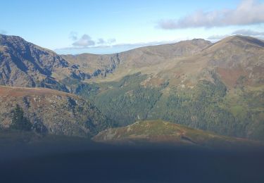
la boucle initialement prévue n'a pas pu être faite à cause .........
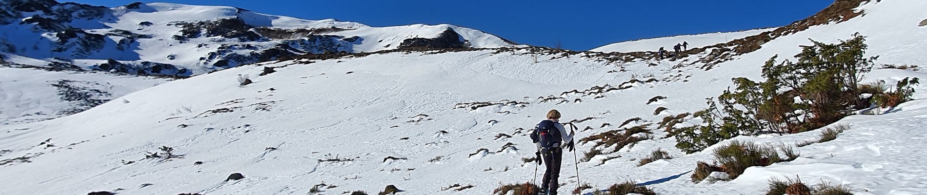
1- l'état de la neige présente en abondance
2 - de l'état du sous-bois de Lagrié (vers 1200m) rendant trop difficile l'accès à la sente intermédiaire entre la route forestière et le bon sentier longeant la foret, tant à la montée qu'à la descente.
A refaire dans de meilleures conditions, et surtout sans la neige
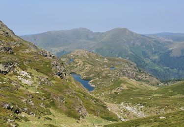
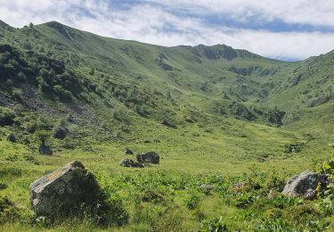
, en boucle - Photo 1")
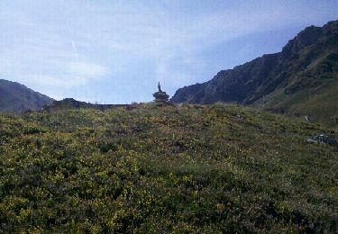
, en boucle - Photo 2")
Stappen

Stappen
Stappen
Stappen
Stappen
Stappen

Stappen
Stappen
Stappen