


11,3 km | 19,4 km-effort
Saurat: Ontdek de beste tochten: 22 te voet en 2 te paard. Al deze tochten, trajecten, routes en outdoor activiteiten zijn beschikbaar in onze SityTrail-apps voor smartphones en tablets.
Stappen


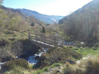
• balade

Stappen
Stappen
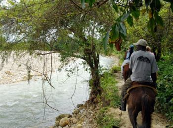
Paard
Paard

 11.255
sport
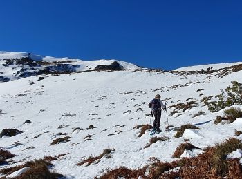
• la boucle initialement prévue n'a pas pu être faite à cause ......... 1- l'état de la neige présente en abondance 2 -...

Stappen
Stappen
Stappen
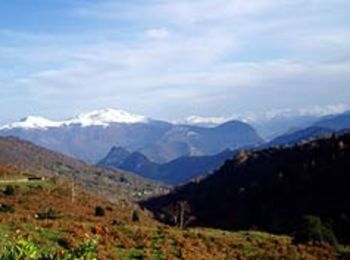
• depuis Saurat-Carli
Stappen
• depuis Saurat-Carly. Montée par Col de Carlong,Rocs de Peyrenègre & de Trabinet. Descente depuisle col des Cramades, ...
Stappen
• Boussenac

Ski randonnée
Stappen
Stappen
15.835
sport
Stappen
Stappen
Stappen

Sneeuwschoenen
Stappen
20 tochten weergegeven op 29
Gratisgps-wandelapplicatie
 SityTrail
IGN / Geografische instituten
SityTrail World
De wereld gaat voor u open