


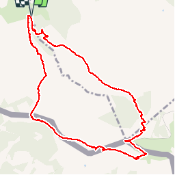

18,8 km | 27 km-effort

Gebruiker


Gratisgps-wandelapplicatie
 SityTrail
IGN / Geografische instituten
SityTrail World
De wereld gaat voor u open
Tocht Stappen van 11,8 km beschikbaar op Nieuw-Aquitanië, Pyrénées-Atlantiques, Ascain. Deze tocht wordt voorgesteld door Axelloceane.
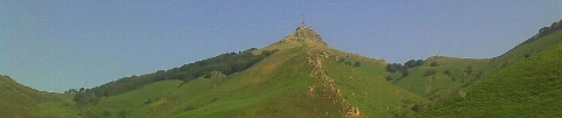
Départ du lieu dit Manttobaita en prenant le GR 10.Laisser le GR 10 sur votre gauche pour atteindre le sommet de La Rhune.Descente par le côté espagnole et ensuite en retrouve le GR 10 pour revenir au point de départ.


Stappen

Stappen

Stappen

Stappen

Stappen

Mountainbike
Stappen
Stappen
Stappen