


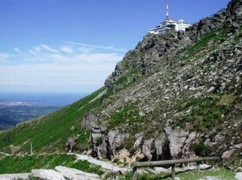
18,8 km | 27 km-effort
Ascain: Ontdek de beste tochten: 112 te voet en 37 met de fiets of mountainbike. Al deze tochten, trajecten, routes en outdoor activiteiten zijn beschikbaar in onze SityTrail-apps voor smartphones en tablets.
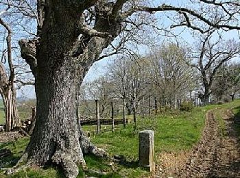
Stappen


Stappen
•
Stappen
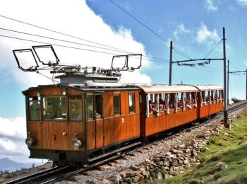
Mountainbike
 10.215
sport
Stappen
Stappen
Stappen
Stappen
Stappen
Stappen
Stappen
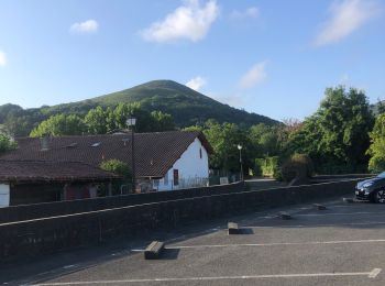
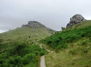
• Randonnée sportive et caillouteuse. Chaussures recommandées
Stappen
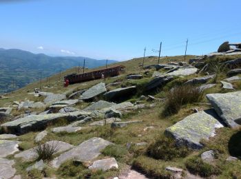
• Boucle Trabenia
Lopen
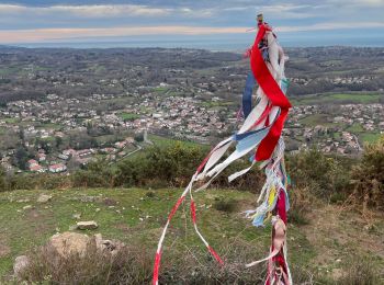
• très jolie
Stappen
Stappen
Mountainbike
Mountainbike
Mountainbike
Mountainbike
20 tochten weergegeven op 155
Gratisgps-wandelapplicatie
 SityTrail
IGN / Geografische instituten
SityTrail World
De wereld gaat voor u open