


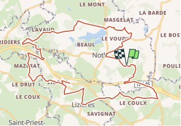

26 km | 31 km-effort


Gebruiker


Gratisgps-wandelapplicatie
 SityTrail
IGN / Geografische instituten
SityTrail World
De wereld gaat voor u open
Tocht Huifkarwandeling van 30 km beschikbaar op Nieuw-Aquitanië, Creuse, Noth. Deze tocht wordt voorgesteld door Gus23.
Cet itinéraire fait parti de la collection de EquiLiberté : www.equiliberte.org
Circuit ACCESSIBLE aux attelages

Paard
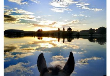
Paardrijden
Paardrijden

Stappen
Huifkarwandeling
Paardrijden

Mountainbike
Mountainbike
Mountainbike