


26 km | 31 km-effort
Noth: Ontdek de beste tochten: 3 te voet, 2 met de fiets of mountainbike en 6 te paard. Al deze tochten, trajecten, routes en outdoor activiteiten zijn beschikbaar in onze SityTrail-apps voor smartphones en tablets.

Paard


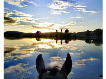
Paardrijden
Huifkarwandeling
• Cet itinéraire fait parti de la collection de EquiLiberté : www.equiliberte.org Circuit ACCESSIBLE aux attelages
Paardrijden

Stappen
• marche
Huifkarwandeling
Paardrijden

Mountainbike
Mountainbike
Stappen

Noords wandelen
11 tochten weergegeven op 11
Gratisgps-wandelapplicatie
 SityTrail
IGN / Geografische instituten
SityTrail World
De wereld gaat voor u open