


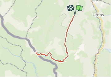


16,9 km | 30 km-effort

Gebruiker


Gratisgps-wandelapplicatie
 SityTrail
IGN / Geografische instituten
SityTrail World
De wereld gaat voor u open
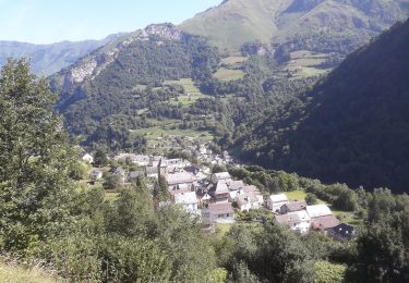
Tocht Stappen van 17,1 km beschikbaar op Nieuw-Aquitanië, Pyrénées-Atlantiques, Borce. Deze tocht wordt voorgesteld door neoroll44.
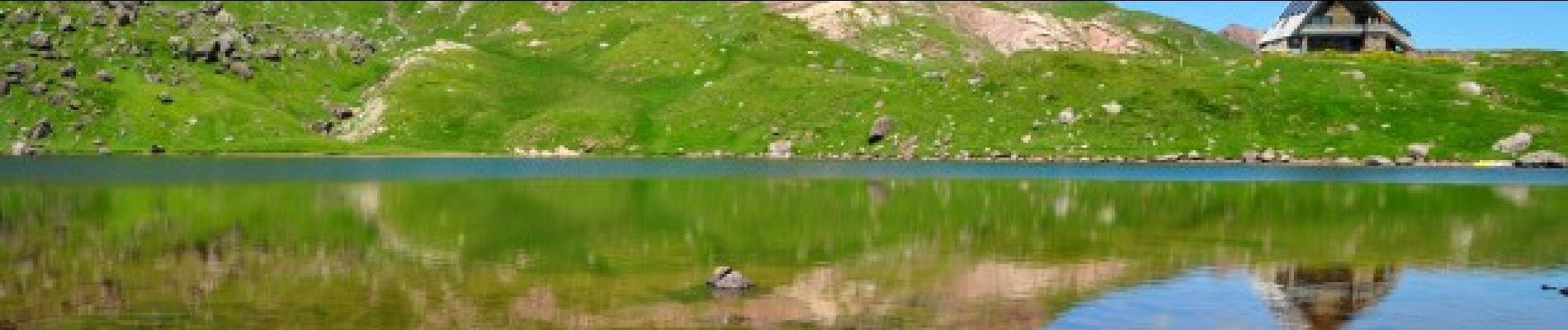
Le lac et le refuge d’Arlet (1986m) est tout à la fois un but pour les marcheurs et une escale pour les grands randonneurs suivant la HRP.


Sneeuwschoenen

Stappen

Stappen
Te voet
Te voet
Te voet
Te voet
Te voet
Te voet