


16,9 km | 30 km-effort
Borce: Ontdek de beste tochten: 51 te voet. Al deze tochten, trajecten, routes en outdoor activiteiten zijn beschikbaar in onze SityTrail-apps voor smartphones en tablets.
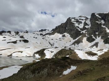
Sneeuwschoenen


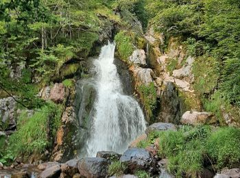
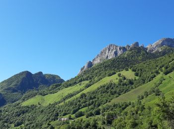
Te voet
• Trail created by Communauté de Communes du Haut-Béarn. Randonnée facile 2h10 semi-boucle Website: https://umap.op...
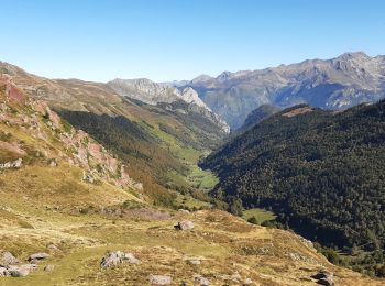
Te voet
• Trail created by Communauté de Communes du Haut-Béarn. Randonnée difficile 5h10 semi-boucle Website: https://umap...
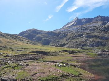
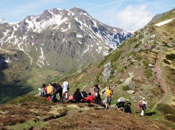
Te voet
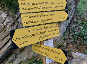
• Trail created by Parc National des Pyrénées.

Stappen
Stappen
•
Stappen
Stappen
Stappen

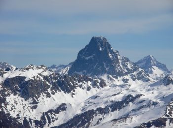
Sneeuwschoenen
Stappen
Stappen
Andere activiteiten
• Gros dénivelé

Stappen
Stappen

Sneeuwschoenen
Stappen
Stappen
Stappen

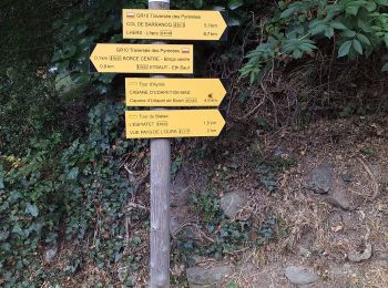
Te voet
• Trail created by Communauté de Communes du Haut-Béarn - PLR de la Vallée d'Aspe / Parc National des Pyrénées. Randon...
20 tochten weergegeven op 56
Gratisgps-wandelapplicatie
 SityTrail
IGN / Geografische instituten
SityTrail World
De wereld gaat voor u open