


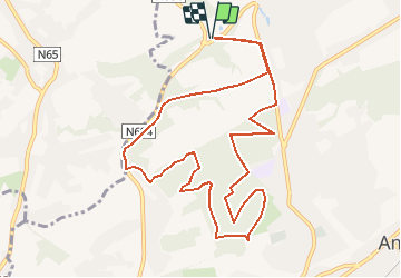


9,8 km | 11,8 km-effort


Gebruiker


Gratisgps-wandelapplicatie
 SityTrail
IGN / Geografische instituten
SityTrail World
De wereld gaat voor u open
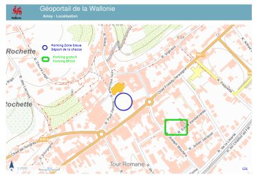
Tocht Stappen van 10,4 km beschikbaar op Wallonië, Luik, Amay. Deze tocht wordt voorgesteld door henrineupre.
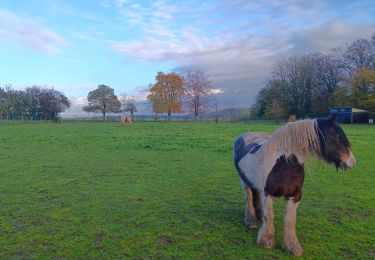
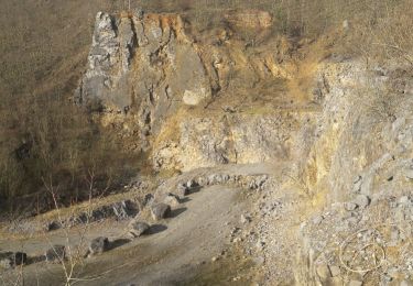
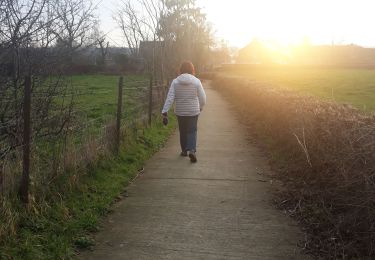
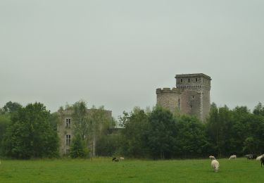
De nombreux sentiers et passages dans les bois d'Ampsin agrémenteront votre parcours. Vous emprunterez également une partie du trajet de l’ancien vicinal Verlaine-Ampsin au cours de votre balade.
Stappen
Stappen

Mountainbike
Stappen
Te voet

Te voet
Te voet

Te voet