


9,8 km | 11,8 km-effort
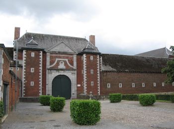
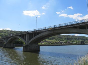
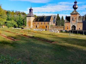
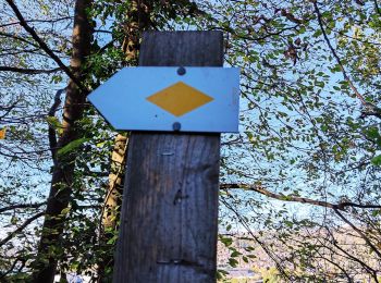
Amay: Ontdek de beste tochten: 164 te voet, 13 met de fiets of mountainbike en 2 te paard. Al deze tochten, trajecten, routes en outdoor activiteiten zijn beschikbaar in onze SityTrail-apps voor smartphones en tablets.
Stappen


Stappen
• Super randonner pas trop longue pour redémarrer. Un peux bruillante au début mes qui ce termine dans un endroit magn...
Mountainbike
• dans les bois
Stappen
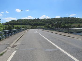
Te voet
• Trail created by Plan Communal de Développement de la Nature d’Amay.

Stappen
• Marche de nuit
Stappen
•
Stappen
Stappen
Stappen
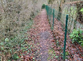
Te voet
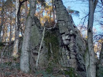
Te voet

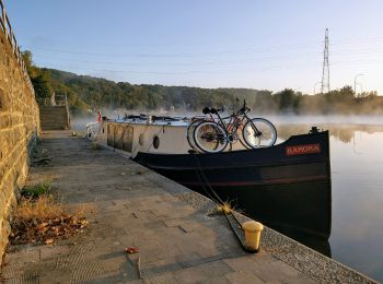
Te voet

Te voet
Te voet
Stappen
Stappen
Stappen

Mountainbike
Stappen
20 tochten weergegeven op 188
Gratisgps-wandelapplicatie
 SityTrail
IGN / Geografische instituten
SityTrail World
De wereld gaat voor u open