


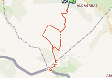

18,8 km | 27 km-effort

Gebruiker


Gratisgps-wandelapplicatie
 SityTrail
IGN / Geografische instituten
SityTrail World
De wereld gaat voor u open
Tocht Stappen van 10,2 km beschikbaar op Nieuw-Aquitanië, Pyrénées-Atlantiques, Ascain. Deze tocht wordt voorgesteld door chrifor.
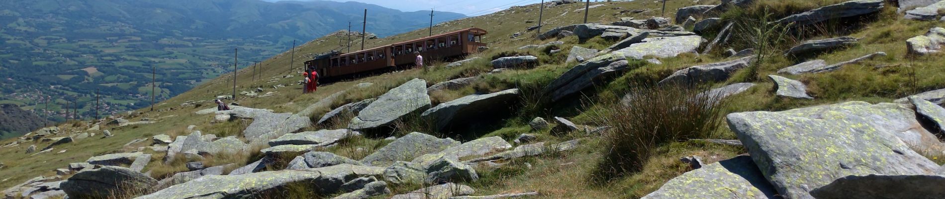
Même le "petit train" la gravit. A éviter les (nombreux) jours d'affluence. La vue n'a rien d'exceptionnel et la colline, très caillouteuse, est en partie dévastée . Mieux vaut chercher ailleurs le plaisir de la randonnée.


Stappen

Stappen

Stappen

Stappen

Stappen

Stappen
Stappen
Stappen

Mountainbike