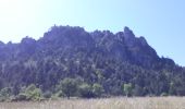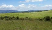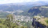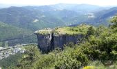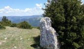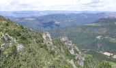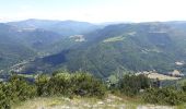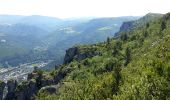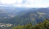

Panoramique des couronnes

nadinebondoux
Gebruiker GUIDE

Lengte
14,9 km

Max. hoogte
1110 m

Positief hoogteverschil
633 m

Km-Effort
23 km

Min. hoogte
551 m

Negatief hoogteverschil
630 m
Boucle
Ja
Datum van aanmaak :
2020-05-31 08:44:27.544
Laatste wijziging :
2020-06-22 18:17:20.952
5h43
Moeilijkheid : Moeilijk

Gratisgps-wandelapplicatie
Over ons
Tocht Stappen van 14,9 km beschikbaar op Occitanië, Lozère, Florac Trois Rivières. Deze tocht wordt voorgesteld door nadinebondoux.
Beschrijving
Florac et Causse de Mejean très belle rando
Plaatsbepaling
Land:
France
Regio :
Occitanië
Departement/Provincie :
Lozère
Gemeente :
Florac Trois Rivières
Locatie:
Florac
Vertrek:(Dec)
Vertrek:(UTM)
547088 ; 4908176 (31T) N.
Opmerkingen
Wandeltochten in de omgeving
Le Sentier des Couronnes - Florac


Stappen
Moeilijk
(4)
Florac Trois Rivières,
Occitanië,
Lozère,
France

15,3 km | 24 km-effort
5h 0min
Ja
Stevenson Bedouès Barre des Cévennes


Stappen
Moeilijk
Bédouès-Cocurès,
Occitanië,
Lozère,
France

20 km | 28 km-effort
6h 4min
Neen
Florac


Te voet
Medium
Florac Trois Rivières,
Occitanië,
Lozère,
France

15,5 km | 24 km-effort
5h 30min
Ja
Les Cévennes sentiers sympas


Stappen
Medium
Florac Trois Rivières,
Occitanië,
Lozère,
France

7,2 km | 11,6 km-effort
2h 43min
Ja
Etape 8 Florac/Cassagnas


Stappen
Medium
Florac Trois Rivières,
Occitanië,
Lozère,
France

20 km | 26 km-effort
5h 20min
Neen
14-05-2023 E9 Bédouès - Barre des Cévennes


Stappen
Zeer moeilijk
Bédouès-Cocurès,
Occitanië,
Lozère,
France

19,6 km | 27 km-effort
6h 11min
Neen
de Florac à St Enimie par le Causse de Sauveterre


Stappen
Zeer moeilijk
Florac Trois Rivières,
Occitanië,
Lozère,
France

27 km | 41 km-effort
9h 26min
Neen
Autour du MAZEL via CROUPILLAC


Stappen
Medium
Cans et Cévennes,
Occitanië,
Lozère,
France

4,2 km | 6,5 km-effort
1h 48min
Ja
Monteils


Stappen
Medium
Florac Trois Rivières,
Occitanië,
Lozère,
France

12,2 km | 17,1 km-effort
3h 40min
Ja


 SityTrail


