


15,3 km | 24 km-effort
Florac Trois Rivières: Ontdek de beste tochten: 130 te voet, 24 met de fiets of mountainbike en 3 te paard. Al deze tochten, trajecten, routes en outdoor activiteiten zijn beschikbaar in onze SityTrail-apps voor smartphones en tablets.
Stappen


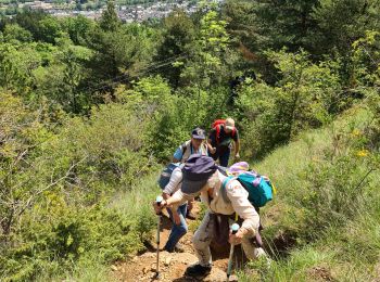
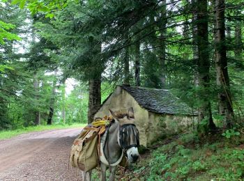
Te voet
• Website: http://randonnee.cevenole.free.fr/index.php5?modele=Florac&vue=topo
Stappen
Stappen
Stappen
Stappen
Stappen
Stappen
• Florac - Ste Enimie Cette dernière étape est un peu longue mais permet de découvrir les beaux villages d'Ispagnac, Qu...
Stappen
• rando ar
Stappen
• stevenson
Stappen
Stappen
Stappen
Stappen
Stappen
Mountainbike
Stappen
Stappen
Stappen
Mountainbike
20 tochten weergegeven op 174
Gratisgps-wandelapplicatie
 SityTrail
IGN / Geografische instituten
SityTrail World
De wereld gaat voor u open