


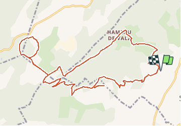

34 km | 40 km-effort


Gebruiker


Gratisgps-wandelapplicatie
 SityTrail
IGN / Geografische instituten
SityTrail World
De wereld gaat voor u open
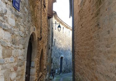
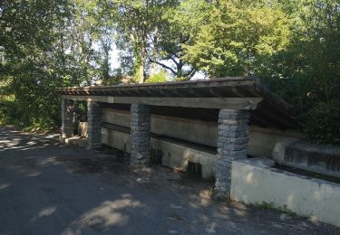
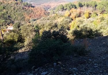
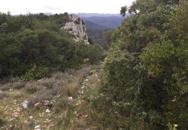
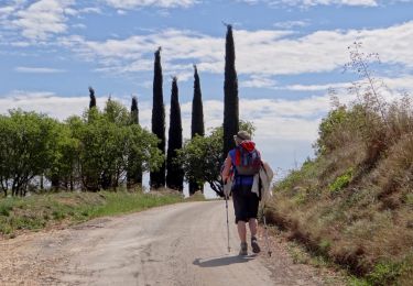
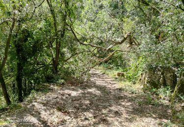
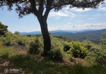
Tocht Te voet van 14,5 km beschikbaar op Occitanië, Gard, Saint-Christol-lez-Alès. Deze tocht wordt voorgesteld door christineb.

Mountainbike
Fiets
Hybride fiets
Stappen
Stappen
Stappen
Stappen
Stappen
Stappen