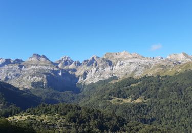
10,4 km | 19,6 km-effort
Castillo de Acher
OUSSET
Gebruiker
Lengte
11,3 km
Max. hoogte
2268 m
Positief hoogteverschil
1121 m
Km-Effort
23 km
Min. hoogte
1342 m
Negatief hoogteverschil
208 m
Boucle
Neen
Datum van aanmaak :
2019-06-08 07:08:04.307
Laatste wijziging :
2019-06-09 14:23:39.364
5h51
Moeilijkheid : Heel gemakkelijk
Gratisgps-wandelapplicatie
Over ons
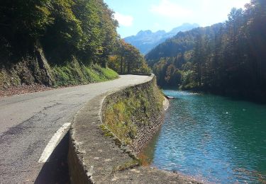
Tocht Stappen van 11,3 km beschikbaar op Nieuw-Aquitanië, Pyrénées-Atlantiques, Borce. Deze tocht wordt voorgesteld door OUSSET.
Plaatsbepaling
Land:
France
Regio :
Nieuw-Aquitanië
Departement/Provincie :
Pyrénées-Atlantiques
Gemeente :
Borce
Locatie:
Unknown
Vertrek:(Dec)
Vertrek:(UTM)
697641 ; 4742999 (30T) N.
Opmerkingen
Wandeltochten in de omgeving
Sentier de Peyranère au Refuge de Larry PNP
Te voet
Gemakkelijk
Urdos,
Nieuw-Aquitanië,
Pyrénées-Atlantiques,
France
4h 27min
Neen
Sentier du Plateau de la Gentiane PNP
Te voet
Gemakkelijk
Urdos,
Nieuw-Aquitanië,
Pyrénées-Atlantiques,
France
3,6 km | 7,3 km-effort
1h 39min
Neen
Sentier du Lac d'Estaëns PNP
Te voet
Gemakkelijk
Urdos,
Nieuw-Aquitanië,
Pyrénées-Atlantiques,
France
5,1 km | 10,1 km-effort
2h 17min
Neen
Boucle Lescun 4J - E4
Stappen
Heel gemakkelijk
(1)
Borce,
Nieuw-Aquitanië,
Pyrénées-Atlantiques,
France
18 km | 27 km-effort
4h 59min
Neen
hrp Arlet to candanchu
Stappen
Medium
(1)
Borce,
Nieuw-Aquitanië,
Pyrénées-Atlantiques,
France
21 km | 33 km-effort
9h 17min
Neen
Chemin de l'escalé
Stappen
Medium
Borce,
Nieuw-Aquitanië,
Pyrénées-Atlantiques,
France
7,9 km | 12,6 km-effort
2h 52min
Ja
Lac d'Estaens
Stappen
Moeilijk
Borce,
Nieuw-Aquitanië,
Pyrénées-Atlantiques,
France
10,2 km | 18,3 km-effort
4h 10min
Ja
Plateau de la gentiane
Stappen
Medium
Urdos,
Nieuw-Aquitanië,
Pyrénées-Atlantiques,
France
7,7 km | 13,2 km-effort
3h 18min
Ja
Lac d'Estaens et environs
Stappen
Moeilijk
Urdos,
Nieuw-Aquitanië,
Pyrénées-Atlantiques,
France
14,9 km | 26 km-effort
7h 42min
Ja