


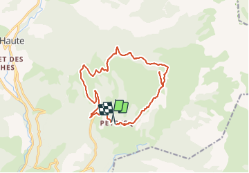

19,9 km | 37 km-effort


Gebruiker


Gratisgps-wandelapplicatie
 SityTrail
IGN / Geografische instituten
SityTrail World
De wereld gaat voor u open
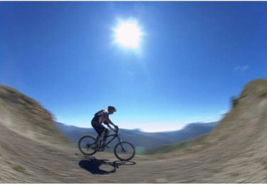
Tocht Mountainbike van 17,5 km beschikbaar op Provence-Alpes-Côte d'Azur, Alpes-de-Haute-Provence, Thorame-Haute. Deze tocht wordt voorgesteld door tracegps.
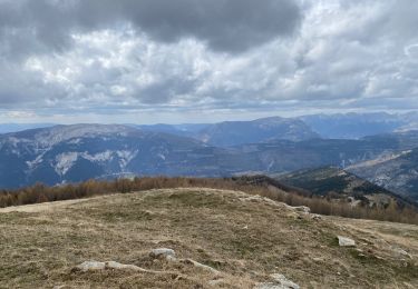
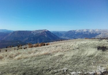
Petit circuit sportif extrêmement joli et varié. Un peu de chemin large mais pas vilain avant de bonnes montées sur sentier suivies d'un tout petit portage. Descente peu difficile (V3 environ en cotation VTOPO).
Stappen
Stappen
Stappen
Stappen
Stappen
Langlaufen

Mountainbike
Sneeuwschoenen
Mountainbike