


12,1 km | 20 km-effort
Thorame-Haute: Ontdek de beste tochten: 48 te voet en 13 met de fiets of mountainbike. Al deze tochten, trajecten, routes en outdoor activiteiten zijn beschikbaar in onze SityTrail-apps voor smartphones en tablets.
Stappen


Stappen
Stappen
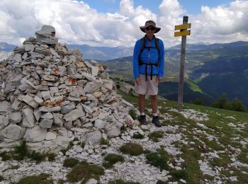
• pic de courradour par Peyresq, depuis arrêt de Peyresq
Stappen
Stappen
Langlaufen

Mountainbike
Sneeuwschoenen
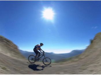
Mountainbike

Stappen
Stappen

Mountainbike
Stappen
Stappen
Stappen
Stappen
Stappen

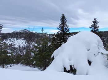
Sneeuwschoenen
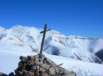
• A/R montée régulière en neige et vent très fort
Stappen
Stappen
20 tochten weergegeven op 66
Gratisgps-wandelapplicatie
 SityTrail
IGN / Geografische instituten
SityTrail World
De wereld gaat voor u open