


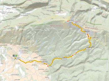
29 km | 38 km-effort
Bédoin: Ontdek de beste tochten: 17 fiets, 16 wegfiets, 88 mountainbike, 2 hybride fiets en 4 elektrische fiets. Al deze tochten, trajecten, routes en outdoor activiteiten zijn beschikbaar in onze SityTrail-apps voor smartphones en tablets.
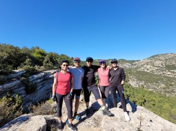
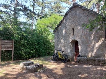
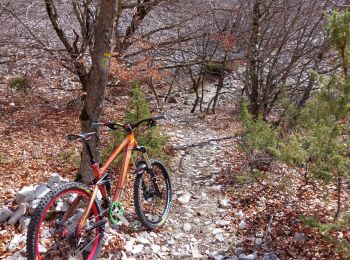
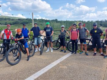
Mountainbike


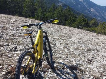
Mountainbike
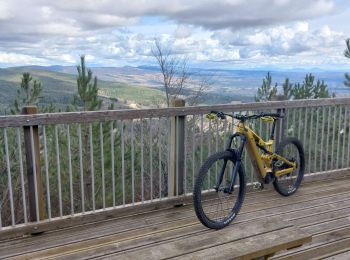
Mountainbike
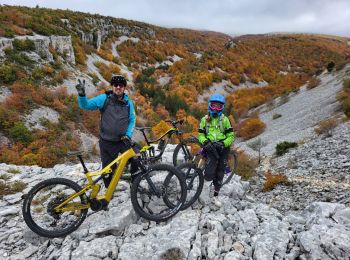
Mountainbike
Mountainbike
Mountainbike
Mountainbike
Mountainbike

Mountainbike
Fiets
Mountainbike
Mountainbike
Mountainbike
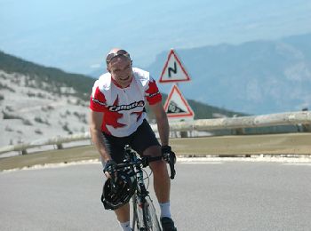
Wegfiets
Mountainbike
Mountainbike
Mountainbike
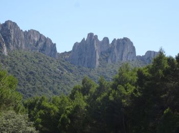
• Ventoux Sud
Mountainbike
• depuis Bedoin
Mountainbike
• ventoux sud
Mountainbike
20 tochten weergegeven op 126
Gratisgps-wandelapplicatie
 SityTrail
IGN / Geografische instituten
SityTrail World
De wereld gaat voor u open