![](/images/other/stat-length.png)
- Tochten
- Outdoor
- Italy
- Lombardije
- Lecco
- Mandello del Lario
Mandello del Lario, Lecco: Top van de beste wandelroutes, trajecten, tochten en wandelingen
Mandello del Lario: Ontdek de beste tochten: 10 te voet. Al deze tochten, trajecten, routes en outdoor activiteiten zijn beschikbaar in onze SityTrail-apps voor smartphones en tablets.
De beste trajecten (10)
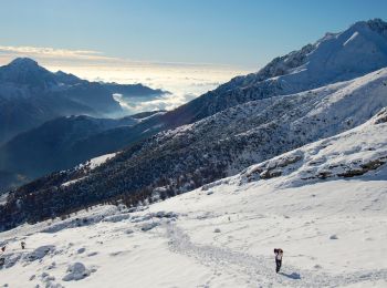
![Tocht Te voet Mandello del Lario - Traversata Alta delle Grigne - Photo](https://media.geolcdn.com/t/350/260/11177eda-b851-40ec-866f-92602503f3c4.jpeg&format=jpg&maxdim=2)
![Te voet Te voet](https://static1.geolcdn.com/sitytour/trail-icons/100.png)
Km
Te voet
![](/images/other/stat-length.png)
![](https://static1.geolcdn.com/siteimages/upload/files/1508320355ic_sort_den_pos_24dp.png)
![](https://static1.geolcdn.com/siteimages/upload/files/1508320355ic_sort_den_neg_24dp.png)
![](https://static1.geolcdn.com/siteimages/upload/files/16400158638029165_repeat_loop_refresh_sync_direction_icon.png)
• Trail created by Comunità montana Lario orientale.
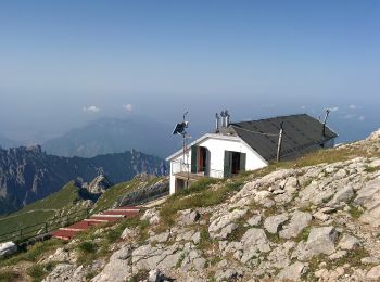
![Tocht Te voet Mandello del Lario - Era - Via del Caminetto - Photo](https://media.geolcdn.com/t/350/260/2e2ee11b-b7f6-4a45-b404-b88cbf397e55.jpeg&format=jpg&maxdim=2)
![Te voet Te voet](https://static1.geolcdn.com/sitytour/trail-icons/100.png)
Km
Te voet
![](/images/other/stat-length.png)
![](https://static1.geolcdn.com/siteimages/upload/files/1508320355ic_sort_den_pos_24dp.png)
![](https://static1.geolcdn.com/siteimages/upload/files/1508320355ic_sort_den_neg_24dp.png)
![](https://static1.geolcdn.com/siteimages/upload/files/16400158638029165_repeat_loop_refresh_sync_direction_icon.png)
• Trail created by Club Alpino Italiano Grigne.
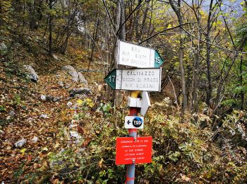
![Tocht Te voet Mandello del Lario - Mandello - Bocchetta di Prada - Photo](https://media.geolcdn.com/t/350/260/2ea09263-adcf-43af-82ec-804ee04f70c2.jpeg&format=jpg&maxdim=2)
![Te voet Te voet](https://static1.geolcdn.com/sitytour/trail-icons/100.png)
Km
Te voet
![](/images/other/stat-length.png)
![](https://static1.geolcdn.com/siteimages/upload/files/1508320355ic_sort_den_pos_24dp.png)
![](https://static1.geolcdn.com/siteimages/upload/files/1508320355ic_sort_den_neg_24dp.png)
![](https://static1.geolcdn.com/siteimages/upload/files/16400158638029165_repeat_loop_refresh_sync_direction_icon.png)
• Trail created by Club Alpino Italiano Grigne.
![Tocht Te voet Mandello del Lario - Sentiero 13: Rongio - Rifugio Rosalba per la Val Portorella - Photo](https://media.geolcdn.com/t/350/260/75ba34b0-d8d7-4542-992d-0032c576acf7.jpeg&format=jpg&maxdim=2)
![Te voet Te voet](https://static1.geolcdn.com/sitytour/trail-icons/100.png)
Km
Te voet
![](/images/other/stat-length.png)
![](https://static1.geolcdn.com/siteimages/upload/files/1508320355ic_sort_den_pos_24dp.png)
![](https://static1.geolcdn.com/siteimages/upload/files/1508320355ic_sort_den_neg_24dp.png)
![](https://static1.geolcdn.com/siteimages/upload/files/16400158638029165_repeat_loop_refresh_sync_direction_icon.png)
• Trail created by Club Alpino Italiano. Symbol: red-white-red vertical bars
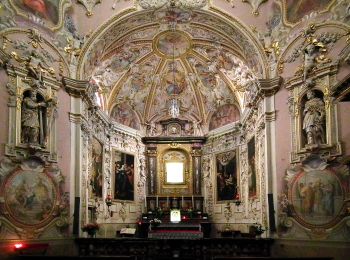
![Tocht Te voet Mandello del Lario - Maggiana/Rongio - Colonghei - Rifugio Rosalba - Photo](https://media.geolcdn.com/t/350/260/d829d509-1b5d-4d4f-8330-4df05d7a2fe0.jpeg&format=jpg&maxdim=2)
![Te voet Te voet](https://static1.geolcdn.com/sitytour/trail-icons/100.png)
Km
Te voet
![](/images/other/stat-length.png)
![](https://static1.geolcdn.com/siteimages/upload/files/1508320355ic_sort_den_pos_24dp.png)
![](https://static1.geolcdn.com/siteimages/upload/files/1508320355ic_sort_den_neg_24dp.png)
![](https://static1.geolcdn.com/siteimages/upload/files/16400158638029165_repeat_loop_refresh_sync_direction_icon.png)
• Trail created by CAI Grigne. Symbol: yellow dots or yellow-white-red stripes
![Tocht Te voet Mandello del Lario - Sentiero delle Foppe - Photo](https://media.geolcdn.com/t/350/260/5ee2e500-3333-4ce7-adbd-d347e90c487b.jpeg&format=jpg&maxdim=2)
![Te voet Te voet](https://static1.geolcdn.com/sitytour/trail-icons/100.png)
Km
Te voet
![](/images/other/stat-length.png)
![](https://static1.geolcdn.com/siteimages/upload/files/1508320355ic_sort_den_pos_24dp.png)
![](https://static1.geolcdn.com/siteimages/upload/files/1508320355ic_sort_den_neg_24dp.png)
![](https://static1.geolcdn.com/siteimages/upload/files/16400158638029165_repeat_loop_refresh_sync_direction_icon.png)
• Trail created by Club Alpino Italiano - Lecco. Symbol: red-white-red vertical bars
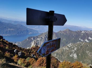
![Tocht Te voet Mandello del Lario - Sentiero 13b: Rongio - Rifugio Rosalba per lo Zucco Pertusio - Photo](https://media.geolcdn.com/t/350/260/f23ee2bd-5d69-4877-9b8e-3bb3345dc637.jpeg&format=jpg&maxdim=2)
![Te voet Te voet](https://static1.geolcdn.com/sitytour/trail-icons/100.png)
Km
Te voet
![](/images/other/stat-length.png)
![](https://static1.geolcdn.com/siteimages/upload/files/1508320355ic_sort_den_pos_24dp.png)
![](https://static1.geolcdn.com/siteimages/upload/files/1508320355ic_sort_den_neg_24dp.png)
![](https://static1.geolcdn.com/siteimages/upload/files/16400158638029165_repeat_loop_refresh_sync_direction_icon.png)
• Trail created by Club Alpino Italiano Grigne. Symbol: red-white-red vertical bars
![Tocht Te voet Mandello del Lario - Rongio - Alpe Cetra - Photo](https://media.geolcdn.com/t/350/260/2ea09263-adcf-43af-82ec-804ee04f70c2.jpeg&format=jpg&maxdim=2)
![Te voet Te voet](https://static1.geolcdn.com/sitytour/trail-icons/100.png)
Km
Te voet
![](/images/other/stat-length.png)
![](https://static1.geolcdn.com/siteimages/upload/files/1508320355ic_sort_den_pos_24dp.png)
![](https://static1.geolcdn.com/siteimages/upload/files/1508320355ic_sort_den_neg_24dp.png)
![](https://static1.geolcdn.com/siteimages/upload/files/16400158638029165_repeat_loop_refresh_sync_direction_icon.png)
• Trail created by Club Alpino Italiano Grigne. Rongio mt. 409 - La Gardata mt 1040 - Alpe Cetra mt 1093; F (facile); ...
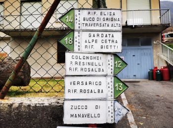
![Tocht Te voet Mandello del Lario - Sentiero 14: Rongio - Buco di Grigna - Photo](https://media.geolcdn.com/t/350/260/81e21c6f-720d-4e24-ad46-44ef12c114ce.jpeg&format=jpg&maxdim=2)
![Te voet Te voet](https://static1.geolcdn.com/sitytour/trail-icons/100.png)
Km
Te voet
![](/images/other/stat-length.png)
![](https://static1.geolcdn.com/siteimages/upload/files/1508320355ic_sort_den_pos_24dp.png)
![](https://static1.geolcdn.com/siteimages/upload/files/1508320355ic_sort_den_neg_24dp.png)
![](https://static1.geolcdn.com/siteimages/upload/files/16400158638029165_repeat_loop_refresh_sync_direction_icon.png)
• Trail created by Club Alpino Italiano Grigne. Rongio mt. 409 - Rifugio Elisa mt. 1515 - Bocchetta di Campione (o Buc...
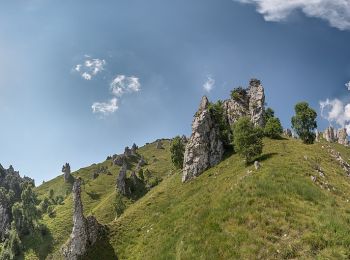
![Tocht Te voet Mandello del Lario - Sentiero 5 - Crebbio - Piani Resinelli - Photo](https://media.geolcdn.com/t/350/260/0189ffae-60a8-45b5-a797-6855c0a5b0a1.jpeg&format=jpg&maxdim=2)
![Te voet Te voet](https://static1.geolcdn.com/sitytour/trail-icons/100.png)
Km
Te voet
![](/images/other/stat-length.png)
![](https://static1.geolcdn.com/siteimages/upload/files/1508320355ic_sort_den_pos_24dp.png)
![](https://static1.geolcdn.com/siteimages/upload/files/1508320355ic_sort_den_neg_24dp.png)
![](https://static1.geolcdn.com/siteimages/upload/files/16400158638029165_repeat_loop_refresh_sync_direction_icon.png)
10 tochten weergegeven op 10
Gratisgps-wandelapplicatie