Mandello del Lario, Lecco, Te voet: Top van de beste wandelroutes, trajecten, tochten en wandelingen

Mandello del Lario: Ontdek de beste tochten: 10 te voet. Al deze tochten, trajecten, routes en outdoor activiteiten zijn beschikbaar in onze SityTrail-apps voor smartphones en tablets.


De beste trajecten (10)
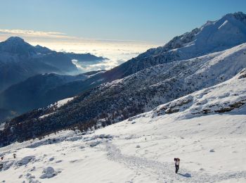
Tocht Te voet Mandello del Lario - Traversata Alta delle Grigne - Photo
Te voet 4.567
Km
GUIDE+

Te voet

Gemakkelijk
Mandello del Lario, Lombardije, Lecco, Italy
4,6 km | 11,9 km-effort
2h 42min
622 m
337 m
Neen
SityTrail - itinéraires balisés pédestres

• Trail created by Comunità montana Lario orientale.
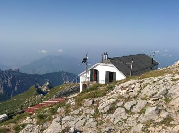
Tocht Te voet Mandello del Lario - Era - Via del Caminetto - Photo
Te voet 4.82
Km
GUIDE+

Te voet

Gemakkelijk
Mandello del Lario, Lombardije, Lecco, Italy
4,8 km | 18,4 km-effort
4h 10min
1353 m
0 m
Neen
SityTrail - itinéraires balisés pédestres

• Trail created by Club Alpino Italiano Grigne.
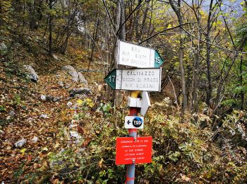
Tocht Te voet Mandello del Lario - Mandello - Bocchetta di Prada - Photo
Te voet 5.24
Km
GUIDE+

Te voet

Gemakkelijk
Mandello del Lario, Lombardije, Lecco, Italy
5,2 km | 14,6 km-effort
3h 19min
915 m
77 m
Neen
SityTrail - itinéraires balisés pédestres

• Trail created by Club Alpino Italiano Grigne.
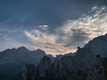
Tocht Te voet Mandello del Lario - Sentiero 13: Rongio - Rifugio Rosalba per la Val Portorella - Photo
Te voet 5.388
Km
GUIDE+

Te voet

Gemakkelijk
Mandello del Lario, Lombardije, Lecco, Italy
5,4 km | 18,5 km-effort
4h 11min
1304 m
12 m
Neen
SityTrail - itinéraires balisés pédestres

• Trail created by Club Alpino Italiano. Symbol: red-white-red vertical bars

Tocht Te voet Mandello del Lario - Maggiana/Rongio - Colonghei - Rifugio Rosalba - Photo
Te voet 3.016
Km
GUIDE+

Te voet

Gemakkelijk
Mandello del Lario, Lombardije, Lecco, Italy
3 km | 8,6 km-effort
1h 57min
558 m
3 m
Neen
SityTrail - itinéraires balisés pédestres

• Trail created by CAI Grigne. Symbol: yellow dots or yellow-white-red stripes

Tocht Te voet Mandello del Lario - Sentiero delle Foppe - Photo
Te voet 3.228
Km
GUIDE+

Te voet

Gemakkelijk
Mandello del Lario, Lombardije, Lecco, Italy
3,2 km | 8,9 km-effort
2h 1min
557 m
37 m
Neen
SityTrail - itinéraires balisés pédestres

• Trail created by Club Alpino Italiano - Lecco. Symbol: red-white-red vertical bars
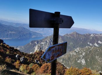
Tocht Te voet Mandello del Lario - Sentiero 13b: Rongio - Rifugio Rosalba per lo Zucco Pertusio - Photo
Te voet 4.421
Km
GUIDE+

Te voet

Gemakkelijk
Mandello del Lario, Lombardije, Lecco, Italy
4,4 km | 16,5 km-effort
3h 45min
1207 m
6 m
Neen
SityTrail - itinéraires balisés pédestres

• Trail created by Club Alpino Italiano Grigne. Symbol: red-white-red vertical bars

Tocht Te voet Mandello del Lario - Rongio - Alpe Cetra - Photo
Te voet 4.446
Km
GUIDE+

Te voet

Gemakkelijk
Mandello del Lario, Lombardije, Lecco, Italy
4,4 km | 11,1 km-effort
2h 31min
660 m
20 m
Neen
SityTrail - itinéraires balisés pédestres

• Trail created by Club Alpino Italiano Grigne. Rongio mt. 409 - La Gardata mt 1040 - Alpe Cetra mt 1093; F (facile); ...
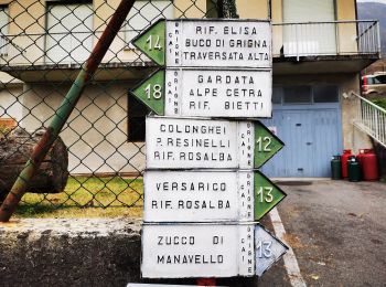
Tocht Te voet Mandello del Lario - Sentiero 14: Rongio - Buco di Grigna - Photo
Te voet 7.62
Km
GUIDE+

Te voet

Medium
Mandello del Lario, Lombardije, Lecco, Italy
7,6 km | 22 km-effort
5h 2min
1446 m
28 m
Neen
SityTrail - itinéraires balisés pédestres

• Trail created by Club Alpino Italiano Grigne. Rongio mt. 409 - Rifugio Elisa mt. 1515 - Bocchetta di Campione (o Buc...
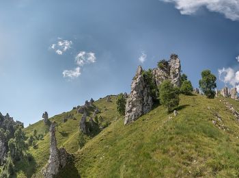
Tocht Te voet Mandello del Lario - Sentiero 5 - Crebbio - Piani Resinelli - Photo
Te voet 3.283
Km
GUIDE+

Te voet

Gemakkelijk
Mandello del Lario, Lombardije, Lecco, Italy
3,3 km | 5,2 km-effort
1h 10min
3 m
568 m
Neen
SityTrail - itinéraires balisés pédestres

10 tochten weergegeven op 10

Gratisgps-wandelapplicatie

Logo SityTrail SityTrail

IGN / Geografische instituten

SityTrail uit de App Store downloaden SityTrail uit Google Play downloaden

Logo SityTrail SityTrail World

De wereld gaat voor u open

SityTrail uit de App Store downloaden SityTrail uit Google Play downloaden SityTrail op Huawei AppGallery downloaden

Activiteiten

Sluiten
Mijn abonnementen