


4,2 km | 5,1 km-effort
Breno: Ontdek de beste tochten: 13 te voet. Al deze tochten, trajecten, routes en outdoor activiteiten zijn beschikbaar in onze SityTrail-apps voor smartphones en tablets.
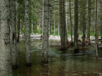
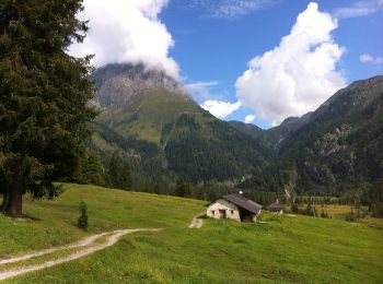
Te voet


• Trail created by Sci di fondo Gaver.
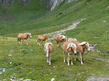
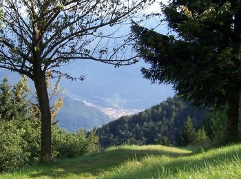
Te voet
• Trail created by Club Alpino Italiano.
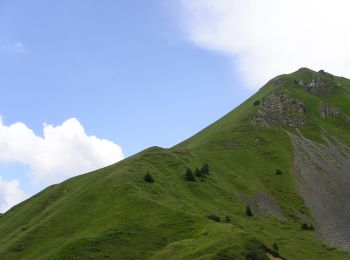
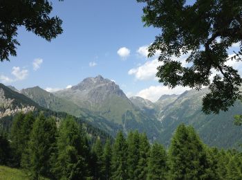
Te voet
• Trail created by Club Alpino Italiano.
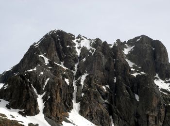
Te voet
• Trail created by Club Alpino Italiano.

Te voet
• Trail created by Club Alpino Italiano.
Te voet
• Trail created by Club Alpino Italiano.
Te voet
• Trail created by Club Alpino Italiano.
Te voet
• Trail created by Club Alpino Italiano - Sezione di Breno. Symbol: 121 on white red flag

Te voet
• Trail created by Club Alpino Italiano - Sezione di Breno. Symbol: red-white-red horizontal bars
Te voet
• Trail created by Club Alpino Italiano - Sezione di Breno. Symbol: red-white-red horizontal bars
Te voet
• Trail created by Club Alpino Italiano.
Te voet
• Trail created by Club Alpino Italiano.

Te voet
• Trail created by Club Alpino Italiano Palazzolo sull'Oglio.
13 tochten weergegeven op 13
Gratisgps-wandelapplicatie
 SityTrail
IGN / Geografische instituten
SityTrail World
De wereld gaat voor u open