Breno, Brescia, Te voet: Top van de beste wandelroutes, trajecten, tochten en wandelingen

Breno: Ontdek de beste tochten: 13 te voet. Al deze tochten, trajecten, routes en outdoor activiteiten zijn beschikbaar in onze SityTrail-apps voor smartphones en tablets.


De beste trajecten (13)
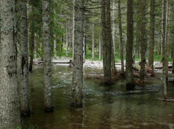
Tocht Te voet Breno - anello escursionistico piana del Gaver - Photo
Te voet 4.198
Km
PRO

Te voet

Gemakkelijk
Breno, Lombardije, Brescia, Italy
4,2 km | 5,1 km-effort
1h 9min
68 m
70 m
Ja
SityTrail - itinéraires balisés pédestres

• Trail created by Sci di fondo Gaver.
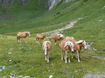
Tocht Te voet Breno - Gaver - Lago Nero - Photo
Te voet 9.789
Km
PRO

Te voet

Medium
Breno, Lombardije, Brescia, Italy
9,8 km | 20 km-effort
4h 38min
961 m
303 m
Neen
SityTrail - itinéraires balisés pédestres

• Trail created by Club Alpino Italiano.
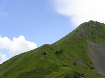
Tocht Te voet Breno - Valle Dorizzo - Passo Croce Domini - Photo
Te voet 5.431
Km
PRO

Te voet

Gemakkelijk
Breno, Lombardije, Brescia, Italy
5,4 km | 7,8 km-effort
1h 46min
2 m
700 m
Neen
SityTrail - itinéraires balisés pédestres

• Trail created by Club Alpino Italiano.
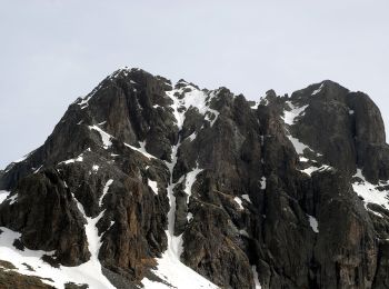
Tocht Te voet Breno - Malga Cadino - Lago della Vacca - Photo
Te voet 6.02
Km
PRO

Te voet

Gemakkelijk
Breno, Lombardije, Brescia, Italy
6 km | 11,9 km-effort
2h 41min
571 m
39 m
Neen
SityTrail - itinéraires balisés pédestres

• Trail created by Club Alpino Italiano.
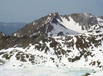
Tocht Te voet Breno - Gaver - Lago della Vacca - Photo
Te voet 6.835
Km
PRO

Te voet

Gemakkelijk
Breno, Lombardije, Brescia, Italy
6,8 km | 15,6 km-effort
3h 33min
875 m
16 m
Neen
SityTrail - itinéraires balisés pédestres

• Trail created by Club Alpino Italiano.

Tocht Te voet Breno - Gaver - Passo Termine - Gaver - Photo
Te voet 12.134
Km
PRO

Te voet

Medium
Breno, Lombardije, Brescia, Italy
12,1 km | 25 km-effort
5h 45min
1197 m
364 m
Neen
SityTrail - itinéraires balisés pédestres

• Trail created by Club Alpino Italiano.
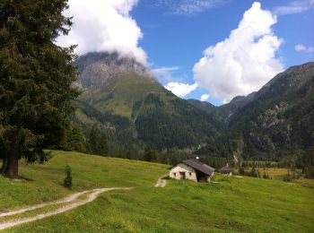
Tocht Te voet Breno - Gaver - Monte Bruffione - Malga Bruffione - Photo
Te voet 5.906
Km
PRO

Te voet

Gemakkelijk
Breno, Lombardije, Brescia, Italy
5,9 km | 17,2 km-effort
3h 54min
1026 m
309 m
Neen
SityTrail - itinéraires balisés pédestres

• Trail created by Club Alpino Italiano.
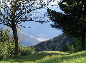
Tocht Te voet Breno - Breno - Montepiano - Col de l’Oca - Monte di Cerveno - Photo
Te voet 5.504
Km
PRO

Te voet

Gemakkelijk
Breno, Lombardije, Brescia, Italy
5,5 km | 15,9 km-effort
3h 37min
1024 m
58 m
Neen
SityTrail - itinéraires balisés pédestres

• Trail created by Club Alpino Italiano - Sezione di Breno. Symbol: 121 on white red flag

Tocht Te voet Breno - Breno - Chiesa di San Martino - Preda de l’Altar - Photo
Te voet 5.773
Km
PRO

Te voet

Gemakkelijk
Breno, Lombardije, Brescia, Italy
5,8 km | 11,4 km-effort
2h 35min
552 m
40 m
Neen
SityTrail - itinéraires balisés pédestres

• Trail created by Club Alpino Italiano - Sezione di Breno. Symbol: red-white-red horizontal bars

Tocht Te voet Breno - Breno - Lavarini - Pescarzo - Campogrande - Breno - Photo
Te voet 7.908
Km
PRO

Te voet

Gemakkelijk
Breno, Lombardije, Brescia, Italy
7,9 km | 13,2 km-effort
3h 0min
404 m
377 m
Neen
SityTrail - itinéraires balisés pédestres

• Trail created by Club Alpino Italiano - Sezione di Breno. Symbol: red-white-red horizontal bars

Tocht Te voet Breno - Gaver - Monte Bruffione (Innesto 401) - Photo
Te voet 4.327
Km
PRO

Te voet

Gemakkelijk
Breno, Lombardije, Brescia, Italy
4,3 km | 8 km-effort
1h 48min
22 m
1022 m
Neen
SityTrail - itinéraires balisés pédestres

• Trail created by Club Alpino Italiano.
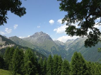
Tocht Te voet Breno - Cascinello Misa - Goletto di Gaver - Photo
Te voet 3.091
Km
PRO

Te voet

Gemakkelijk
Breno, Lombardije, Brescia, Italy
3,1 km | 6 km-effort
1h 21min
266 m
77 m
Neen
SityTrail - itinéraires balisés pédestres

• Trail created by Club Alpino Italiano.

Tocht Te voet Breno - IT-3 - Photo
Te voet 4.847
Km
PRO

Te voet

Gemakkelijk
Breno, Lombardije, Brescia, Italy
4,8 km | 10,2 km-effort
2h 18min
491 m
120 m
Neen
SityTrail - itinéraires balisés pédestres

• Trail created by Club Alpino Italiano Palazzolo sull'Oglio.

13 tochten weergegeven op 13

Gratisgps-wandelapplicatie

Logo SityTrail SityTrail

IGN / Geografische instituten

SityTrail uit de App Store downloaden SityTrail uit Google Play downloaden

Logo SityTrail SityTrail World

De wereld gaat voor u open

SityTrail uit de App Store downloaden SityTrail uit Google Play downloaden SityTrail op Huawei AppGallery downloaden

Activiteiten

Sluiten
Mijn abonnementen