


11,8 km | 24 km-effort
Thorens-Glières: Ontdek de beste tochten: 159 te voet en 3 met de fiets of mountainbike. Al deze tochten, trajecten, routes en outdoor activiteiten zijn beschikbaar in onze SityTrail-apps voor smartphones en tablets.
Stappen


Stappen

Stappen
Stappen
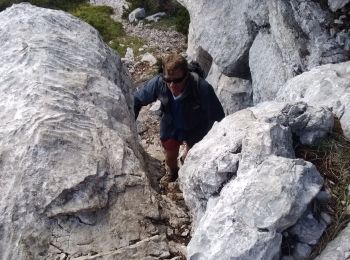
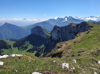
• Beau circuit en boucle dont la difficulté augmente en fonction de l'humidité du sentier et de l'enneigement dans une ...
Stappen
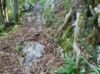
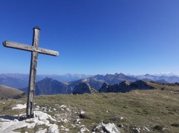
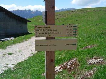
• Pas du roc
Stappen
Stappen
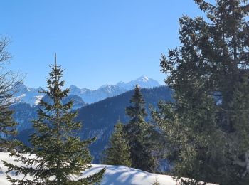
Sneeuwschoenen
Stappen
Stappen
Stappen
Stappen
Sneeuwschoenen
Sneeuwschoenen
Stappen
Stappen
Stappen
Stappen
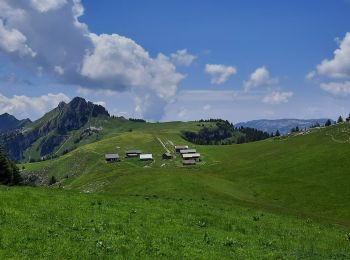
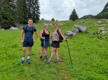
• Au départ du parking au dessus de Traversy
Stappen
Stappen
• collecte
20 tochten weergegeven op 215
Gratisgps-wandelapplicatie
 SityTrail
IGN / Geografische instituten
SityTrail World
De wereld gaat voor u open