


9 km | 15,6 km-effort
Fillière: Ontdek de beste tochten: 217 te voet, 7 met de fiets of mountainbike en 1 te paard. Al deze tochten, trajecten, routes en outdoor activiteiten zijn beschikbaar in onze SityTrail-apps voor smartphones en tablets.
Stappen


Stappen
Stappen
Stappen

Stappen
Stappen
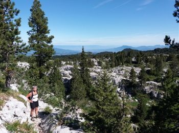
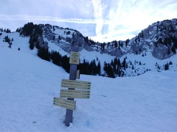
• Beau circuit en boucle dont la difficulté augmente en fonction de l'humidité du sentier et de l'enneigement dans une ...
Stappen
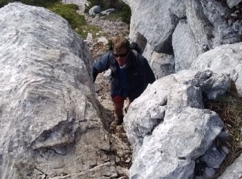
• Pas du roc
Stappen
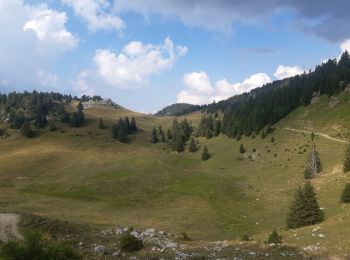
• Départ chalet de l'angletaz, puis descente vers la vallée du pertuis, la remonter jusqu'au col du pertuis, puis remon...
Stappen
Stappen
Stappen
Sneeuwschoenen
Stappen
Stappen
Stappen
Stappen
Stappen
Stappen
Sneeuwschoenen
Sneeuwschoenen
20 tochten weergegeven op 282
Gratisgps-wandelapplicatie
 SityTrail
IGN / Geografische instituten
SityTrail World
De wereld gaat voor u open