


14,3 km | 19 km-effort
Wallonië: Ontdek de beste tochten: 825 paard, 1071 paardrijden, 54 huifkarwandeling en 46 ezelwandeling. Al deze tochten, trajecten, routes en outdoor activiteiten zijn beschikbaar in onze SityTrail-apps voor smartphones en tablets.
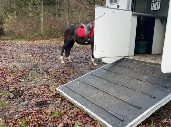
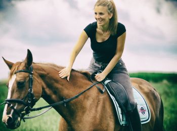
Paardrijden


• Prachtig circuit vertrekkend vanaf Celles, één van de “Mooiste Dorpjes in Wallonië”, dorp dat kan pronken met een ade...
Paard
• De familie wandeling bij uitstek, kinderwagens welkom. Ook toegankelijk voor rolstoelgebruikers.
Paardrijden
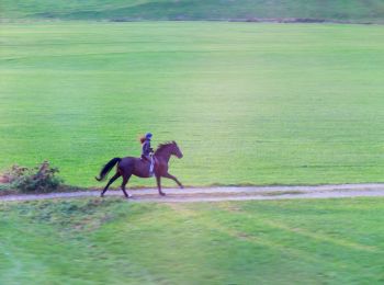
Paardrijden
• mooie boswandeling met veel water
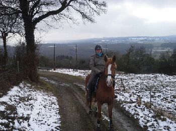
Paardrijden
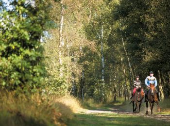
Paardrijden

Paard

Paard
Paard
• terrain tres vallonné

Paardrijden
Paardrijden
• Trail created by Famenne-Ardenne.
Paard
• 28 kms halte à 17.5 kms
Paardrijden

Paard
• Trail created by Wallonie Picarde (Antenne Tournai) . Circuit voor paardenspannen en ruiters (op bepaalde plaatsen z...
Paard
• Trail created by Wallonie Picarde (Antenne Tournai) . Circuit voor paardenspannen en ruiters (op bepaalde plaatsen z...
Paard
• Trail created by Wallonie Picarde (Antenne Tournai) . Dit ruitercircuit van 24 km loopt door het hart van het staats...
Paard
• Trail created by Wallonie Picarde (Antenne Tournai) . Deze 3 ruiter- en menroutes maken deel uit van de 7 grensovers...
Paard
• Trail created by Wallonie Picarde (Antenne Tournai) . Deze 3 ruiter- en menroutes maken deel uit van de 7 grensovers...

Paard
• Trail created by Wallonie Picarde (Antenne Tournai) . Deze 3 ruiter- en menroutes maken deel uit van de 7 grensovers...

Paard
• Trail created by Wallonie Picarde (Antenne Tournai) . De drie circuits zijn toegankelijk voor ruiters en paardenspan...
20 tochten weergegeven op 1979
Gratisgps-wandelapplicatie
 SityTrail
IGN / Geografische instituten
SityTrail World
De wereld gaat voor u open