


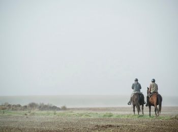
21 km | 24 km-effort
Henegouwen: Ontdek de beste tochten: 74 paard, 73 paardrijden, 12 huifkarwandeling en 1 ezelwandeling. Al deze tochten, trajecten, routes en outdoor activiteiten zijn beschikbaar in onze SityTrail-apps voor smartphones en tablets.

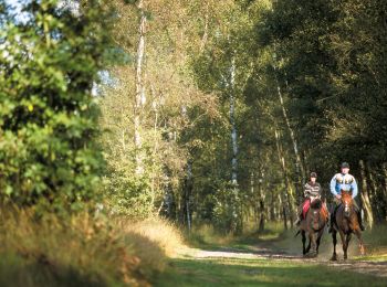
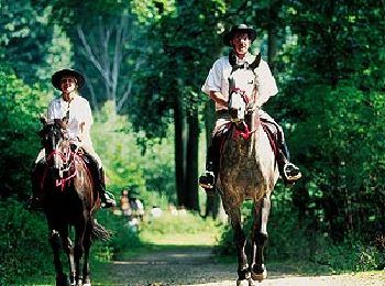
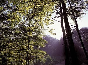
Paard


• Trail created by Wallonie Picarde (Antenne Tournai) . Circuit voor paardenspannen en ruiters (op bepaalde plaatsen z...
Paard
• Trail created by Wallonie Picarde (Antenne Tournai) . Circuit voor paardenspannen en ruiters (op bepaalde plaatsen z...
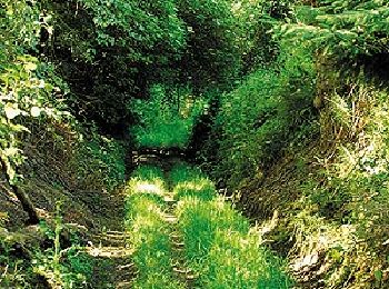
Paard
• Trail created by Wallonie Picarde (Antenne Tournai) . Dit ruitercircuit van 24 km loopt door het hart van het staats...
Paard
• Trail created by Wallonie Picarde (Antenne Tournai) . Deze 3 ruiter- en menroutes maken deel uit van de 7 grensovers...
Paard
• Trail created by Wallonie Picarde (Antenne Tournai) . Deze 3 ruiter- en menroutes maken deel uit van de 7 grensovers...

Paard
• Trail created by Wallonie Picarde (Antenne Tournai) . Deze 3 ruiter- en menroutes maken deel uit van de 7 grensovers...

Paard
• Trail created by Wallonie Picarde (Antenne Tournai) . De drie circuits zijn toegankelijk voor ruiters en paardenspan...
Paard
• Trail created by Wallonie Picarde (Antenne Tournai) . De drie circuits zijn toegankelijk voor ruiters en paardenspan...

Paard
• Trail created by Wallonie Picarde (Antenne Tournai) . Deze circuits maken deel uit van een grensoverschrijdend ru...
Paard
• Trail created by Wallonie Picarde (Antenne Tournai) . Dit circuit van 26 km in de streek van Ellezelles laat u de ui...
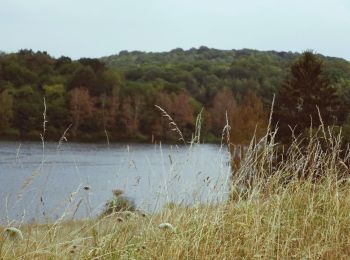
Paard
• Trail created by Wallonie Picarde (Antenne Tournai) . Welkom op deze duik in het bosmassief van Bon-Secours/Condé, e...
Paard
• Trail created by Wallonie Picarde (Antenne Tournai) . De gemeente Rumes is een grensgebied bij uitstek. In het noord...
Paard
• Trail created by Wallonie Picarde (Antenne Tournai) . Deze etappe van het ruiterpadennetwerk van de «5 Forêts» doork...
Paard
• Trail created by Wallonie Picarde (Antenne Tournai) . Dit circuit van 39 km stelt ruiters en paardenspannen een parc...
Paard
• Trail created by Wallonie Picarde (Antenne Tournai) . Dit circuit van 39 km stelt ruiters en paardenspannen een parc...

Paard
• Trail created by Wallonie Picarde (Antenne Tournai) . De drie circuits zijn toegankelijk voor ruiters en paardenspan...
Paard
• Trail created by Wallonie Picarde (Antenne Tournai) . Dit circuit bestaat vooral uit aardewegen. Het voert u naar en...
Paard
• Trail created by Pays des Lacs.
Paard
• Trail created by Pays des Lacs. Deze ruiterwandeling van 25 km begint in Montbliart, het kleinste maar ook het me...
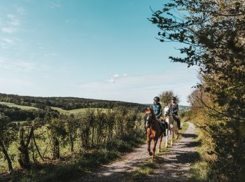
Paardrijden
20 tochten weergegeven op 156
Gratisgps-wandelapplicatie
 SityTrail
IGN / Geografische instituten
SityTrail World
De wereld gaat voor u open