Lecco, Lombardije, Te voet: Top van de beste wandelroutes, trajecten, tochten en wandelingen

Lecco: Ontdek de beste tochten: 90 te voet en 10 stappen. Al deze tochten, trajecten, routes en outdoor activiteiten zijn beschikbaar in onze SityTrail-apps voor smartphones en tablets.


De beste trajecten (100)
Tocht Stappen Varenna - Sentiero del Viandante Varenna à Bellona - Photo
Stappen 9.624
Km
GUIDE

Stappen

Heel gemakkelijk
Varenna, Lombardije, Lecco, Italy
9,6 km | 15,4 km-effort
2h 50min
438 m
430 m
Neen
chessyca

Tocht Te voet Calolziocorte - Sentiero 801: Sentiero della valle San Martino - Photo
Te voet 28.386
Km
GUIDE+

Te voet

Zeer moeilijk
Calolziocorte, Lombardije, Lecco, Italy
28 km | 53 km-effort
12h 0min
1925 m
1561 m
Neen
SityTrail - itinéraires balisés pédestres

• Trail created by Comunità Montana Valle San Martino.
Tocht Te voet Calolziocorte - Sentiero 801A: Ponte Serta (Calolziocorte) - Ponte Contrada (Torre de' Busi) - Photo
Te voet 12.487
Km
GUIDE+

Te voet

Medium
Calolziocorte, Lombardije, Lecco, Italy
12,5 km | 21 km-effort
4h 52min
706 m
572 m
Neen
SityTrail - itinéraires balisés pédestres

• Trail created by Comunità Montana Valle San Martino.
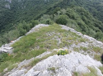
Tocht Te voet Erve - Sentiero 831: Cappella del Corno (Erve) - M. Spedone - Nesolio - Erve - Photo
Te voet 6.167
Km
GUIDE+

Te voet

Gemakkelijk
Erve, Lombardije, Lecco, Italy
6,2 km | 12,7 km-effort
2h 52min
493 m
473 m
Ja
SityTrail - itinéraires balisés pédestres

• Trail created by Comunità Montana Valle San Martino.
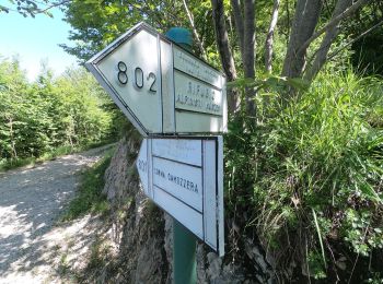
Tocht Te voet Calolziocorte - Sentiero 812: Lorentino (Calolziocorte) - Passo della Pertulena - Photo
Te voet 4.163
Km
GUIDE+

Te voet

Gemakkelijk
Calolziocorte, Lombardije, Lecco, Italy
4,2 km | 10,8 km-effort
2h 26min
660 m
1 m
Neen
SityTrail - itinéraires balisés pédestres

• Trail created by Comunità Montana Valle San Martino.
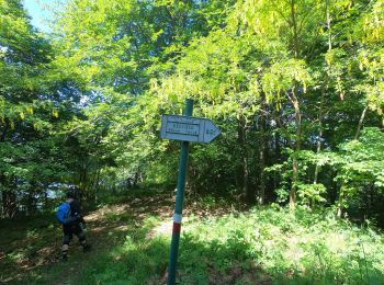
Tocht Te voet Carenno - Sentiero 811: Carenno - Colle di Sogno - Pertüs - Photo
Te voet 5.706
Km
GUIDE+

Te voet

Gemakkelijk
Carenno, Lombardije, Lecco, Italy
5,7 km | 11,6 km-effort
2h 37min
574 m
34 m
Neen
SityTrail - itinéraires balisés pédestres

• Trail created by Comunità Montana Valle San Martino.
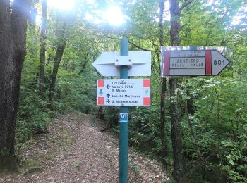
Tocht Te voet Carenno - Sentiero 819: Carenno - Torre de' Busi - Photo
Te voet 4.538
Km
GUIDE+

Te voet

Gemakkelijk
Carenno, Lombardije, Lecco, Italy
4,5 km | 7,7 km-effort
1h 45min
197 m
366 m
Neen
SityTrail - itinéraires balisés pédestres

• Trail created by Comunità Montana Valle San Martino.
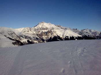
Tocht Te voet Moggio - Traversata Artavaggio - Bobbio - Photo
Te voet 8.687
Km
GUIDE+

Te voet

Gemakkelijk
Moggio, Lombardije, Lecco, Italy
8,7 km | 14 km-effort
3h 10min
396 m
396 m
Neen
SityTrail - itinéraires balisés pédestres

• Trail created by Comunità montana della Valsassina, Valvarrone, Val d'Esino e Riviera. Symbol: red-white bars with b...
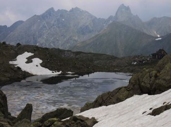
Tocht Te voet Barzio - Sentiero delle Orobie Occidentali - Tappa 2 - Photo
Te voet 15.559
Km
GUIDE+

Te voet

Medium
Barzio, Lombardije, Lecco, Italy
15,6 km | 29 km-effort
6h 39min
1140 m
706 m
Neen
SityTrail - itinéraires balisés pédestres

• Trail created by Club Alpino Italiano (sezioni di Bergamo). Symbol: red-white bars, sometimes with black text "101" ...
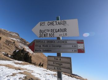
Tocht Te voet Barzio - Sentiero degli stradini - Photo
Te voet 3.384
Km
GUIDE+

Te voet

Gemakkelijk
Barzio, Lombardije, Lecco, Italy
3,4 km | 6,4 km-effort
1h 27min
257 m
138 m
Neen
SityTrail - itinéraires balisés pédestres

• Trail created by Club Alpino Italiano.
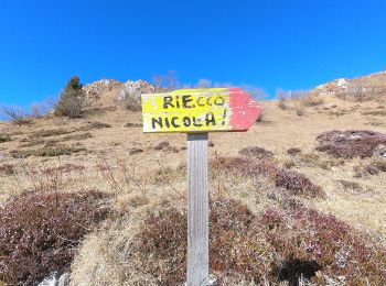
Tocht Te voet Moggio - Sentiero del Vallone - Photo
Te voet 4.651
Km
GUIDE+

Te voet

Gemakkelijk
Moggio, Lombardije, Lecco, Italy
4,7 km | 12,5 km-effort
2h 50min
776 m
34 m
Neen
SityTrail - itinéraires balisés pédestres

• Trail created by Comune di Moggio.
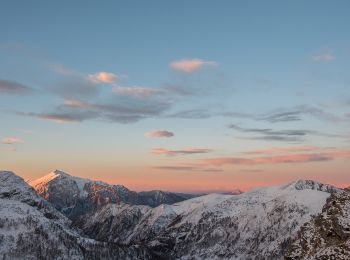
Tocht Te voet Introbio - Introbio-Bocchetta di Agoredo-Rifugio Santa Rita - Photo
Te voet 12.071
Km
GUIDE+

Te voet

Medium
Introbio, Lombardije, Lecco, Italy
12,1 km | 27 km-effort
6h 13min
1476 m
168 m
Neen
SityTrail - itinéraires balisés pédestres

• Club Alpino Italiano Sezione di SEREGNO
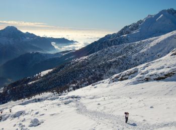
Tocht Te voet Mandello del Lario - Traversata Alta delle Grigne - Photo
Te voet 4.567
Km
GUIDE+

Te voet

Gemakkelijk
Mandello del Lario, Lombardije, Lecco, Italy
4,6 km | 11,9 km-effort
2h 42min
622 m
337 m
Neen
SityTrail - itinéraires balisés pédestres

• Trail created by Comunità montana Lario orientale.
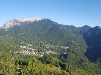
Tocht Te voet Taceno - Tartavalle Terme-Parlasco-Passo Agueglio-Sasso di San Defendente - Photo
Te voet 6.061
Km
GUIDE+

Te voet

Gemakkelijk
Taceno, Lombardije, Lecco, Italy
6,1 km | 14,9 km-effort
3h 23min
884 m
9 m
Neen
SityTrail - itinéraires balisés pédestres

• Club Alpino Italiano Sezione di SEREGNO
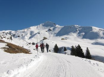
Tocht Te voet Moggio - Sentiero Antichi Cippi Confinari - Photo
Te voet 3.558
Km
GUIDE+

Te voet

Gemakkelijk
Moggio, Lombardije, Lecco, Italy
3,6 km | 5,4 km-effort
1h 13min
150 m
104 m
Neen
SityTrail - itinéraires balisés pédestres

• Club Alpino Italiano Sezione di SEREGNO
Tocht Te voet Carenno - Sentiero 801D: Convento del Pertus - Erve - Photo
Te voet 4.053
Km
GUIDE+

Te voet

Gemakkelijk
Carenno, Lombardije, Lecco, Italy
4,1 km | 6,9 km-effort
1h 33min
69 m
636 m
Neen
SityTrail - itinéraires balisés pédestres

• Dal Convento del Pertüs si scende per un paio di tornanti sulla strada bianca per poi imboccare, a destra in prossimi...
Tocht Te voet Erve - Variante per Prá di Rat - Photo
Te voet 4.555
Km
GUIDE+

Te voet

Gemakkelijk
Erve, Lombardije, Lecco, Italy
4,6 km | 16,9 km-effort
3h 50min
1231 m
2 m
Neen
SityTrail - itinéraires balisés pédestres

• Trail created by CAI Monza. Symbol: red-white-yellow vertical bars with the black text "11"

Tocht Te voet Esino Lario - (SI D12S) Alpe Cainallo - Rifugio Luigi Brioschi - Photo
Te voet 7.205
Km
GUIDE+

Te voet

Gemakkelijk
Esino Lario, Lombardije, Lecco, Italy
7,2 km | 19,3 km-effort
4h 23min
1191 m
57 m
Neen
SityTrail - itinéraires balisés pédestres

• Sentiero Italia CAI 2019

Tocht Te voet Pasturo - (SI D13S) Rifugio Luigi Brioschi - Pasturo - Photo
Te voet 8.384
Km
GUIDE+

Te voet

Gemakkelijk
Pasturo, Lombardije, Lecco, Italy
8,4 km | 14,1 km-effort
3h 12min
0 m
1720 m
Neen
SityTrail - itinéraires balisés pédestres

• Sentiero Italia CAI 2019

Tocht Te voet Moggio - Sentiero del Canale di Bürei - Photo
Te voet 6.098
Km
GUIDE+

Te voet

Gemakkelijk
Moggio, Lombardije, Lecco, Italy
6,1 km | 16,2 km-effort
3h 40min
1004 m
20 m
Neen
SityTrail - itinéraires balisés pédestres

• Trail created by Comune di Moggio.

20 tochten weergegeven op 100

Sluiten
Mijn abonnementen