![](/images/other/stat-length.png)
- Tochten
- Te voet
- Italy
- Emilia-Romagna
- Reggio nell'Emilia
Reggio nell'Emilia, Emilia-Romagna, Te voet: Top van de beste wandelroutes, trajecten, tochten en wandelingen
Reggio nell'Emilia: Ontdek de beste tochten: 98 te voet en 2 stappen. Al deze tochten, trajecten, routes en outdoor activiteiten zijn beschikbaar in onze SityTrail-apps voor smartphones en tablets.
De beste trajecten (100)
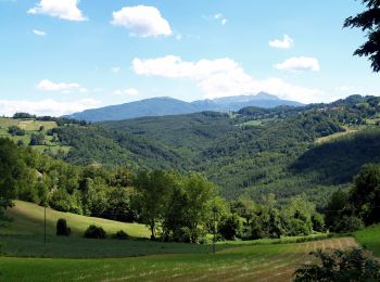
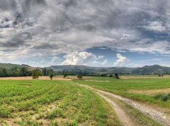
![Tocht Te voet Canossa - Mulino di Chichino - Scalucchia - Spigone - Predella - Gazzolo - Cerreggio - Taviano - Photo](https://media.geolcdn.com/t/350/260/00c534ca-f00a-47a7-820d-db0fc5323bfb.jpeg&format=jpg&maxdim=2)
![Te voet Te voet](https://static1.geolcdn.com/sitytour/trail-icons/100.png)
Km
Te voet
![](/images/other/stat-length.png)
![](https://static1.geolcdn.com/siteimages/upload/files/1508320355ic_sort_den_pos_24dp.png)
![](https://static1.geolcdn.com/siteimages/upload/files/1508320355ic_sort_den_neg_24dp.png)
![](https://static1.geolcdn.com/siteimages/upload/files/16400158638029165_repeat_loop_refresh_sync_direction_icon.png)
• Symbol: 670 on white red flags
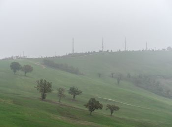
![Tocht Te voet Ventasso - (SI L21) Rifugio Sarzana al Monte Acuto - Pratospilla - Photo](https://media.geolcdn.com/t/350/260/9a2754e8-988c-4aa1-9d72-a42a1a850adb.jpeg&format=jpg&maxdim=2)
![Te voet Te voet](https://static1.geolcdn.com/sitytour/trail-icons/100.png)
Km
Te voet
![](/images/other/stat-length.png)
![](https://static1.geolcdn.com/siteimages/upload/files/1508320355ic_sort_den_pos_24dp.png)
![](https://static1.geolcdn.com/siteimages/upload/files/1508320355ic_sort_den_neg_24dp.png)
![](https://static1.geolcdn.com/siteimages/upload/files/16400158638029165_repeat_loop_refresh_sync_direction_icon.png)
• Sentiero Italia CAI 2020
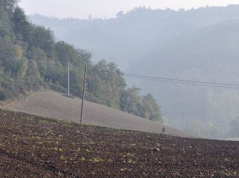
![Tocht Te voet Castelnovo ne' Monti - Sentiero Natura dei Gessi Triassici - Mulino di Vologno - Vologno - C. Loppi - Pietra di Bismantova - Carnola - Photo](https://media.geolcdn.com/t/350/260/0a23ae1e-fe9a-41ea-8d6b-0d32430205ef.jpeg&format=jpg&maxdim=2)
![Te voet Te voet](https://static1.geolcdn.com/sitytour/trail-icons/100.png)
Km
Te voet
![](/images/other/stat-length.png)
![](https://static1.geolcdn.com/siteimages/upload/files/1508320355ic_sort_den_pos_24dp.png)
![](https://static1.geolcdn.com/siteimages/upload/files/1508320355ic_sort_den_neg_24dp.png)
![](https://static1.geolcdn.com/siteimages/upload/files/16400158638029165_repeat_loop_refresh_sync_direction_icon.png)
• Symbol: 698 on white red flags
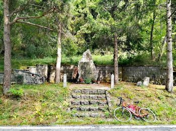
![Tocht Te voet Toano - Pieve di Toano - Monte della Castagna - Manno - Massa - Pieve di Toano - Photo](https://media.geolcdn.com/t/350/260/8203295c-a26d-4838-a54d-bdce519c92f0.jpeg&format=jpg&maxdim=2)
![Te voet Te voet](https://static1.geolcdn.com/sitytour/trail-icons/100.png)
Km
Te voet
![](/images/other/stat-length.png)
![](https://static1.geolcdn.com/siteimages/upload/files/1508320355ic_sort_den_pos_24dp.png)
![](https://static1.geolcdn.com/siteimages/upload/files/1508320355ic_sort_den_neg_24dp.png)
![](https://static1.geolcdn.com/siteimages/upload/files/16400158638029165_repeat_loop_refresh_sync_direction_icon.png)
• Symbol: 682 on white red flags
![Tocht Te voet Carpineti - Valestra - Monte Valestra - Passo della Regina - Castello delle Carpinete - Photo](https://media.geolcdn.com/t/350/260/6a2fe429-9487-4817-b8a9-9b76a3a24fab.jpeg&format=jpg&maxdim=2)
![Te voet Te voet](https://static1.geolcdn.com/sitytour/trail-icons/100.png)
Km
Te voet
![](/images/other/stat-length.png)
![](https://static1.geolcdn.com/siteimages/upload/files/1508320355ic_sort_den_pos_24dp.png)
![](https://static1.geolcdn.com/siteimages/upload/files/1508320355ic_sort_den_neg_24dp.png)
![](https://static1.geolcdn.com/siteimages/upload/files/16400158638029165_repeat_loop_refresh_sync_direction_icon.png)
• Symbol: 618 on white red flags
![Tocht Te voet Baiso - Visignolo - La Baragalle - Il Borgo - Casalecchio - Visignolo - Photo](https://media.geolcdn.com/t/350/260/07b4ddc1-f1c1-4c6d-9209-4cfe62b29cc2.jpeg&format=jpg&maxdim=2)
![Te voet Te voet](https://static1.geolcdn.com/sitytour/trail-icons/100.png)
Km
Te voet
![](/images/other/stat-length.png)
![](https://static1.geolcdn.com/siteimages/upload/files/1508320355ic_sort_den_pos_24dp.png)
![](https://static1.geolcdn.com/siteimages/upload/files/1508320355ic_sort_den_neg_24dp.png)
![](https://static1.geolcdn.com/siteimages/upload/files/16400158638029165_repeat_loop_refresh_sync_direction_icon.png)
• Symbol: 634 on white red flags
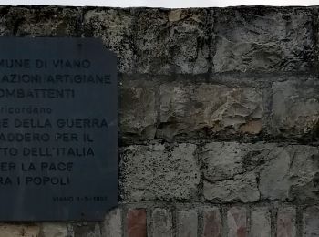
![Tocht Te voet Viano - Prediara - Faggiola - Fontanella - C.Benale - Ca' dei Pazzi - Photo](https://media.geolcdn.com/t/350/260/20c94ce4-6979-4915-bb95-6abc8ae5776f.jpeg&format=jpg&maxdim=2)
![Te voet Te voet](https://static1.geolcdn.com/sitytour/trail-icons/100.png)
Km
Te voet
![](/images/other/stat-length.png)
![](https://static1.geolcdn.com/siteimages/upload/files/1508320355ic_sort_den_pos_24dp.png)
![](https://static1.geolcdn.com/siteimages/upload/files/1508320355ic_sort_den_neg_24dp.png)
![](https://static1.geolcdn.com/siteimages/upload/files/16400158638029165_repeat_loop_refresh_sync_direction_icon.png)
• Symbol: 606 on white red flags
![Tocht Te voet Viano - Mamorra - Monte Bergola - San Pietro in Querciala - Casella - Santa Maria in Castello - Vrone - Casino - Photo](https://media.geolcdn.com/t/350/260/21d1de29-31cf-4f8c-986f-02abd60bf3cb.jpeg&format=jpg&maxdim=2)
![Te voet Te voet](https://static1.geolcdn.com/sitytour/trail-icons/100.png)
Km
Te voet
![](/images/other/stat-length.png)
![](https://static1.geolcdn.com/siteimages/upload/files/1508320355ic_sort_den_pos_24dp.png)
![](https://static1.geolcdn.com/siteimages/upload/files/1508320355ic_sort_den_neg_24dp.png)
![](https://static1.geolcdn.com/siteimages/upload/files/16400158638029165_repeat_loop_refresh_sync_direction_icon.png)
• Symbol: 606A on white red flags
![Tocht Te voet Viano - Ca' Bertacchi - Regnano - Santa Maria al Castello - Ca' Bertacchi - Photo](https://media.geolcdn.com/t/350/260/f9fdb9b0-ec12-470c-ab4b-41419ea0f400.jpeg&format=jpg&maxdim=2)
![Te voet Te voet](https://static1.geolcdn.com/sitytour/trail-icons/100.png)
Km
Te voet
![](/images/other/stat-length.png)
![](https://static1.geolcdn.com/siteimages/upload/files/1508320355ic_sort_den_pos_24dp.png)
![](https://static1.geolcdn.com/siteimages/upload/files/1508320355ic_sort_den_neg_24dp.png)
![](https://static1.geolcdn.com/siteimages/upload/files/16400158638029165_repeat_loop_refresh_sync_direction_icon.png)
• Trail created by Provincia di Reggio Emilia. Symbol: 616 on white red flags
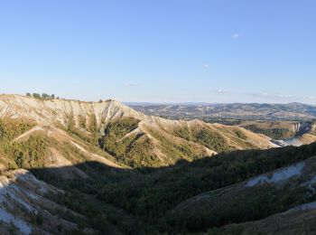
![Tocht Te voet Castellarano - IT-602F - Photo](https://media.geolcdn.com/t/350/260/f6dd05c0-d2cc-443d-bd2a-a21be354bdf5.jpeg&format=jpg&maxdim=2)
![Te voet Te voet](https://static1.geolcdn.com/sitytour/trail-icons/100.png)
Km
Te voet
![](/images/other/stat-length.png)
![](https://static1.geolcdn.com/siteimages/upload/files/1508320355ic_sort_den_pos_24dp.png)
![](https://static1.geolcdn.com/siteimages/upload/files/1508320355ic_sort_den_neg_24dp.png)
![](https://static1.geolcdn.com/siteimages/upload/files/16400158638029165_repeat_loop_refresh_sync_direction_icon.png)
• Symbol: 602F on white red flags
![Tocht Te voet Castellarano - Croce di San Valentino - Montebabbio - Telarolo - Monte Maestà Bianca - Photo](https://media.geolcdn.com/t/350/260/4754f7b7-e4e9-414a-87ed-47b7fa7e68d9.jpeg&format=jpg&maxdim=2)
![Te voet Te voet](https://static1.geolcdn.com/sitytour/trail-icons/100.png)
Km
Te voet
![](/images/other/stat-length.png)
![](https://static1.geolcdn.com/siteimages/upload/files/1508320355ic_sort_den_pos_24dp.png)
![](https://static1.geolcdn.com/siteimages/upload/files/1508320355ic_sort_den_neg_24dp.png)
![](https://static1.geolcdn.com/siteimages/upload/files/16400158638029165_repeat_loop_refresh_sync_direction_icon.png)
• Symbol: 602D on white red flags
![Tocht Te voet Scandiano - Anello di Ca' de Caroli - Photo](https://media.geolcdn.com/t/350/260/8c296d96-b4bd-41d6-84bb-787f9d722b8b.jpeg&format=jpg&maxdim=2)
![Te voet Te voet](https://static1.geolcdn.com/sitytour/trail-icons/100.png)
Km
Te voet
![](/images/other/stat-length.png)
![](https://static1.geolcdn.com/siteimages/upload/files/1508320355ic_sort_den_pos_24dp.png)
![](https://static1.geolcdn.com/siteimages/upload/files/1508320355ic_sort_den_neg_24dp.png)
![](https://static1.geolcdn.com/siteimages/upload/files/16400158638029165_repeat_loop_refresh_sync_direction_icon.png)
• Trail created by Comune di Scandiano.
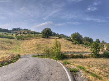
![Tocht Te voet Scandiano - Ventoso - Monte De' Gesso - Pianderna - Monte Evangelo - San Ruffino - Ventoso - Photo](https://media.geolcdn.com/t/350/260/7edf6193-7eee-4470-a3e3-5b63c31ab043.jpeg&format=jpg&maxdim=2)
![Te voet Te voet](https://static1.geolcdn.com/sitytour/trail-icons/100.png)
Km
Te voet
![](/images/other/stat-length.png)
![](https://static1.geolcdn.com/siteimages/upload/files/1508320355ic_sort_den_pos_24dp.png)
![](https://static1.geolcdn.com/siteimages/upload/files/1508320355ic_sort_den_neg_24dp.png)
![](https://static1.geolcdn.com/siteimages/upload/files/16400158638029165_repeat_loop_refresh_sync_direction_icon.png)
• Trail created by Provincia di Reggio Emilia. Symbol: 604 on white red flags
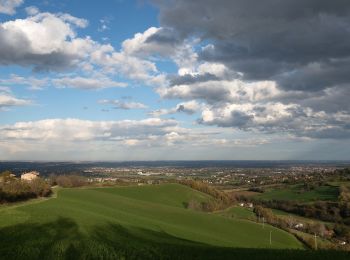
![Tocht Te voet Albinea - Borzano - Ca' dei Duchi - Bellavista - Ca' del Vento - Giareto - Borzano - Photo](https://media.geolcdn.com/t/350/260/13773798-1e75-4eb5-b5cc-0667ee150190.jpeg&format=jpg&maxdim=2)
![Te voet Te voet](https://static1.geolcdn.com/sitytour/trail-icons/100.png)
Km
Te voet
![](/images/other/stat-length.png)
![](https://static1.geolcdn.com/siteimages/upload/files/1508320355ic_sort_den_pos_24dp.png)
![](https://static1.geolcdn.com/siteimages/upload/files/1508320355ic_sort_den_neg_24dp.png)
![](https://static1.geolcdn.com/siteimages/upload/files/16400158638029165_repeat_loop_refresh_sync_direction_icon.png)
• Trail created by Comune di Albinea. Symbol: 614 on white red flags
![Tocht Te voet Casina - Lago dei Pini - Poncema - Pantano - Croce di Petrella - Photo](https://media.geolcdn.com/t/350/260/9b705249-ed58-404a-989a-f32d672175dc.jpeg&format=jpg&maxdim=2)
![Te voet Te voet](https://static1.geolcdn.com/sitytour/trail-icons/100.png)
Km
Te voet
![](/images/other/stat-length.png)
![](https://static1.geolcdn.com/siteimages/upload/files/1508320355ic_sort_den_pos_24dp.png)
![](https://static1.geolcdn.com/siteimages/upload/files/1508320355ic_sort_den_neg_24dp.png)
![](https://static1.geolcdn.com/siteimages/upload/files/16400158638029165_repeat_loop_refresh_sync_direction_icon.png)
• Symbol: 624A on white red flags
![Tocht Te voet Vezzano sul Crostolo - Montalto - Monte Duro - Casa Cuccagna - Montalto - Photo](https://media.geolcdn.com/t/350/260/eea2b418-4e4f-4e81-967f-496c2b36ee36.jpeg&format=jpg&maxdim=2)
![Te voet Te voet](https://static1.geolcdn.com/sitytour/trail-icons/100.png)
Km
Te voet
![](/images/other/stat-length.png)
![](https://static1.geolcdn.com/siteimages/upload/files/1508320355ic_sort_den_pos_24dp.png)
![](https://static1.geolcdn.com/siteimages/upload/files/1508320355ic_sort_den_neg_24dp.png)
![](https://static1.geolcdn.com/siteimages/upload/files/16400158638029165_repeat_loop_refresh_sync_direction_icon.png)
• Trail created by Comune di Vezzano sul Crostolo. Symbol: 622A on white red flags
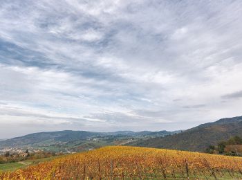
![Tocht Te voet Vezzano sul Crostolo - Bettola - Casa Cuccagna - Casa di Casino - Riolo - Prediera - Case Schiavino - Casa Monteduro - Bettola - Photo](https://media.geolcdn.com/t/350/260/5ee45ff0-6daf-4cea-bd17-b807d4bddb8f.jpeg&format=jpg&maxdim=2)
![Te voet Te voet](https://static1.geolcdn.com/sitytour/trail-icons/100.png)
Km
Te voet
![](/images/other/stat-length.png)
![](https://static1.geolcdn.com/siteimages/upload/files/1508320355ic_sort_den_pos_24dp.png)
![](https://static1.geolcdn.com/siteimages/upload/files/1508320355ic_sort_den_neg_24dp.png)
![](https://static1.geolcdn.com/siteimages/upload/files/16400158638029165_repeat_loop_refresh_sync_direction_icon.png)
• Trail created by Provincia di Reggio Emilia. Symbol: 622 on white red flags
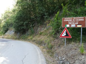
![Tocht Te voet Casina - MIgliara - Montata - Ariolo - Pianzo - Photo](https://media.geolcdn.com/t/350/260/a7f38c0c-d054-4085-ab58-b618ef088ce1.jpeg&format=jpg&maxdim=2)
![Te voet Te voet](https://static1.geolcdn.com/sitytour/trail-icons/100.png)
Km
Te voet
![](/images/other/stat-length.png)
![](https://static1.geolcdn.com/siteimages/upload/files/1508320355ic_sort_den_pos_24dp.png)
![](https://static1.geolcdn.com/siteimages/upload/files/1508320355ic_sort_den_neg_24dp.png)
![](https://static1.geolcdn.com/siteimages/upload/files/16400158638029165_repeat_loop_refresh_sync_direction_icon.png)
• Symbol: 658 on white red flags
![Tocht Te voet Casina - Sella di Monte Barazzone - Barazzone - Mulino di Cortogno - Ariolo - Roncolo - Pineto - Photo](https://media.geolcdn.com/t/350/260/3632078f-594f-455e-b15a-42a093ac9282.jpeg&format=jpg&maxdim=2)
![Te voet Te voet](https://static1.geolcdn.com/sitytour/trail-icons/100.png)
Km
Te voet
![](/images/other/stat-length.png)
![](https://static1.geolcdn.com/siteimages/upload/files/1508320355ic_sort_den_pos_24dp.png)
![](https://static1.geolcdn.com/siteimages/upload/files/1508320355ic_sort_den_neg_24dp.png)
![](https://static1.geolcdn.com/siteimages/upload/files/16400158638029165_repeat_loop_refresh_sync_direction_icon.png)
• Trail created by Provincia di Reggio Emilia. Symbol: 660 on white red flags
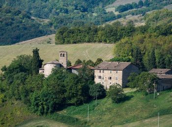
![Tocht Te voet Casina - Bergogno - Mulino del Votigno - Casola Canossa - Photo](https://media.geolcdn.com/t/350/260/5bfff336-809d-45ad-8ed0-770684175f1a.jpeg&format=jpg&maxdim=2)
![Te voet Te voet](https://static1.geolcdn.com/sitytour/trail-icons/100.png)
Km
Te voet
![](/images/other/stat-length.png)
![](https://static1.geolcdn.com/siteimages/upload/files/1508320355ic_sort_den_pos_24dp.png)
![](https://static1.geolcdn.com/siteimages/upload/files/1508320355ic_sort_den_neg_24dp.png)
![](https://static1.geolcdn.com/siteimages/upload/files/16400158638029165_repeat_loop_refresh_sync_direction_icon.png)
• Symbol: 656A on white red flags
20 tochten weergegeven op 100
Gratisgps-wandelapplicatie