


5,8 km | 7,9 km-effort
Landkreis Main-Spessart: Ontdek de beste tochten: 141 te voet. Al deze tochten, trajecten, routes en outdoor activiteiten zijn beschikbaar in onze SityTrail-apps voor smartphones en tablets.
Te voet


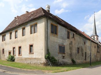
• Trail created by Gemeinde Himmelstadt.
Te voet
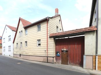
• Trail created by Gemeinde Himmelstadt.

Te voet
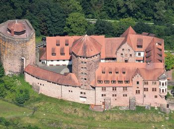
• Trail created by Stadt Karlstadt.
Te voet
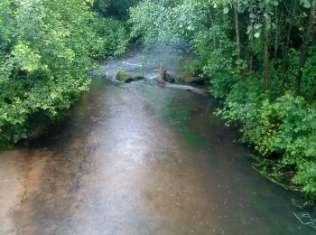
• Trail created by Rieneck. Symbol: Orangener Walker und 2 auf weißem Grund

Te voet
• Trail created by Naturpark Spessart. Symbol: Rote Schnepfe auf weißem Quadrat
Te voet
• Trail created by Spessartbund.
Te voet
• Trail created by Spessartbund.
Te voet
• Trail created by Naturpark Spessart.
Te voet
• Trail created by Wanderverein Wanderfreunde Wiesthal.
Te voet
• Trail created by Naturpark Spessart.
Te voet
• Trail created by Spessartbund.
Te voet
• Trail created by Spessartbund.
Te voet
• Trail created by Spessartbund.
Te voet
• Trail created by Spessartbund.
Te voet
• Trail created by Spessartbund.
Te voet
• Trail created by Spessartbund.
Te voet
• Trail created by Spessartbund.
Te voet
• Trail created by Spessartbund. Symbol: Schwarze H4 auf weißem Grund
Te voet
• Trail created by Archäologisches Spessartprojekt. Symbol: Gelber keltischer Wagen mit EU-Sternen auf blauem Grund
Te voet
• Trail created by Spessartbund. Symbol: hikingsymbolSchwarzes F1 auf weißem Grund
20 tochten weergegeven op 141
Gratisgps-wandelapplicatie
 SityTrail
IGN / Geografische instituten
SityTrail World
De wereld gaat voor u open