


4 km | 5,2 km-effort
Frammersbach: Ontdek de beste tochten: 11 te voet. Al deze tochten, trajecten, routes en outdoor activiteiten zijn beschikbaar in onze SityTrail-apps voor smartphones en tablets.
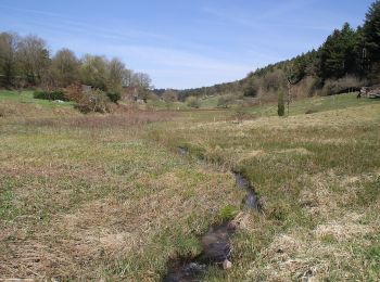
Te voet


• Trail created by Naturpark Spessart.
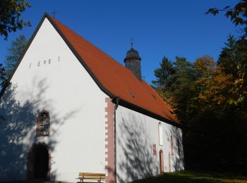
Te voet
• Trail created by Spessartbund. Symbol: hikingsymbolSchwarzes F1 auf weißem Grund
Te voet
• Symbol: Schwarzer Fuhrmann auf weißem Grund
Te voet
• Trail created by Naturpark Spessart. Symbol: Blauer Laubbaum auf weißem Grund
Te voet
• Trail created by Naturpark Spessart. Symbol: Roter Hase auf weißem Grund
Te voet
• Trail created by Spessartbund. Symbol: Schwarze P9 auf weißem Grund
Te voet
• Trail created by Spessartbund. Symbol: weißes geschwungenes M auf blauem Grund
Te voet
• Trail created by Spessartbund. Symbol: "H2"
Te voet
• Trail created by Archäologisches Spessartprojekt. Symbol: Gelbes EU-Schiffchen auf blauem Grund
Te voet
• Trail created by Archäologisches Spessartprojekt. Symbol: Gelbes EU-Schiffchen auf blauem Grund
Te voet
• Trail created by Spessartbund. Symbol: Schwarzes F2 auf weißem Grund
11 tochten weergegeven op 11
Gratisgps-wandelapplicatie
 SityTrail
IGN / Geografische instituten
SityTrail World
De wereld gaat voor u open