


10,6 km | 14,1 km-effort
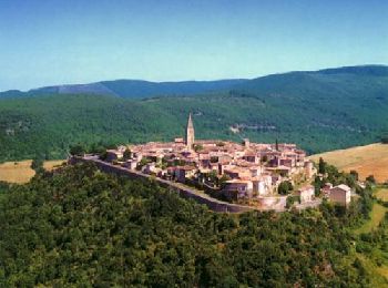
Tarn-et-Garonne: Scopri i migliori percorsi: 14 bicicletta, 11 bici da strada, 141 mountainbike, 31 bici ibrida, 14 cicloturismo e 53 bicicletta elettrica. Tutti questi percorsi, itinerari e attività outdoor sono disponibili nelle nostre app SityTrail per smartphone e tablet.
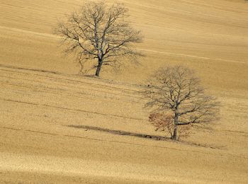
Mountainbike


Mountainbike
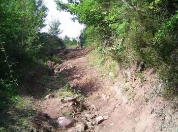
Mountainbike

Mountainbike
Mountainbike
Mountainbike

Bicicletta elettrica
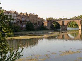
Cicloturismo
Mountainbike
Bici ibrida
Bici ibrida
Bicicletta elettrica
Bicicletta

Bicicletta
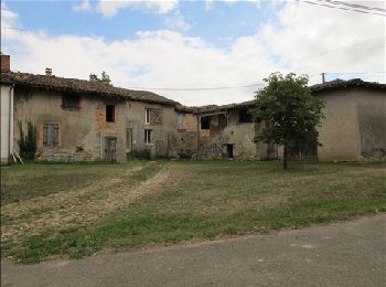
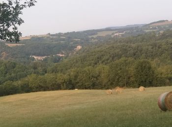
• De chez notre capitaine vers la vallée de l'Aveyron.
Mountainbike
Mountainbike
Mountainbike
Mountainbike
Mountainbike
Mountainbike
20 percorsi visualizzati su 263
Applicazione GPS da escursionismo GRATUITA
 SityTrail
IGN / Istituti geografici
SityTrail World
Il mondo è tuo