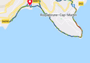
8,4 km | 12,5 km-effort
Randonnées
cotier
Marche
Facile
Roquebrune-Cap-Martin,
Provence-Alpes-Côte d'Azur,
Alpes-Maritimes,
France
3h 10min
Non
2020-10-07_17h38m05_Col de gpx
sport
Très facile
Saint-Raphaël,
Provence-Alpes-Côte d'Azur,
Var,
France
11,4 km | 17 km-effort
Inconnu
Oui
Tête de Gaglio, différente.
A pied
Moyen
La Bollène-Vésubie,
Provence-Alpes-Côte d'Azur,
Alpes-Maritimes,
France
8,6 km | 14,7 km-effort
Inconnu
Oui
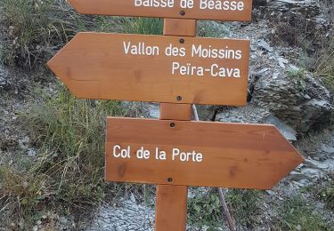
Beasse Peira Cava
Marche
Difficile
Lucéram,
Provence-Alpes-Côte d'Azur,
Alpes-Maritimes,
France
19 km | 31 km-effort
9h 50min
Oui
Jausiers, lac des Terres Pleines
A pied
Difficile
Jausiers,
Provence-Alpes-Côte d'Azur,
Alpes-de-Haute-Provence,
France
10,7 km | 17,7 km-effort
Inconnu
Oui
3 cimes turini
A pied
Moyen
Moulinet,
Provence-Alpes-Côte d'Azur,
Alpes-Maritimes,
France
9,6 km | 17 km-effort
Inconnu
Oui
L'Audibergue
A pied
Facile
Caille,
Provence-Alpes-Côte d'Azur,
Alpes-Maritimes,
France
4,4 km | 8,3 km-effort
Inconnu
Oui
Granges de La Mairis au départ de Turini
A pied
Moyen
Lantosque,
Provence-Alpes-Côte d'Azur,
Alpes-Maritimes,
France
9,5 km | 14,8 km-effort
Inconnu
Oui
Au départ du Cannet des Maures
A pied
Facile
Le Cannet-des-Maures,
Provence-Alpes-Côte d'Azur,
Var,
France
12,3 km | 13,9 km-effort
Inconnu
Oui
4 Chemins Nice
A pied
Facile
Nice,
Provence-Alpes-Côte d'Azur,
Alpes-Maritimes,
France
10,5 km | 14,9 km-effort
Inconnu
Oui
Isola 2000
A pied
Moyen
Isola,
Provence-Alpes-Côte d'Azur,
Alpes-Maritimes,
France
15,4 km | 31 km-effort
Inconnu
Oui
Lacs de Vens
A pied
Difficile
Saint-Étienne-de-Tinée,
Provence-Alpes-Côte d'Azur,
Alpes-Maritimes,
France
17,4 km | 30 km-effort
Inconnu
Non
Les Malavettes
A pied
Moyen
Saint-Raphaël,
Provence-Alpes-Côte d'Azur,
Var,
France
11,4 km | 15,9 km-effort
Inconnu
Oui
Bagnols-en-foret-opidum-et-meulieres-realise
A pied
Facile
Bagnols-en-Forêt,
Provence-Alpes-Côte d'Azur,
Var,
France
10,6 km | 15,8 km-effort
Inconnu
Oui
Col de Porte Col de L'Autaret;;
A pied
Moyen
Lucéram,
Provence-Alpes-Côte d'Azur,
Alpes-Maritimes,
France
10,8 km | 16,4 km-effort
Inconnu
Oui
Cime de Suorcas
A pied
Moyen
La Bollène-Vésubie,
Provence-Alpes-Côte d'Azur,
Alpes-Maritimes,
France
5,8 km | 12,4 km-effort
Inconnu
Non
Lacs de Prals différent
A pied
Moyen
Saint-Martin-Vésubie,
Provence-Alpes-Côte d'Azur,
Alpes-Maritimes,
France
10,3 km | 22 km-effort
Inconnu
Oui
Lacs de Prals
A pied
Moyen
Saint-Martin-Vésubie,
Provence-Alpes-Côte d'Azur,
Alpes-Maritimes,
France
6,3 km | 13,1 km-effort
Inconnu
Oui
Bois Noir au départ de Cabanes Vieilles
Marche
Facile
Moulinet,
Provence-Alpes-Côte d'Azur,
Alpes-Maritimes,
France
14,6 km | 21 km-effort
6h 18min
Oui
Tete Gaglio
Marche
Moyen
La Bollène-Vésubie,
Provence-Alpes-Côte d'Azur,
Alpes-Maritimes,
France
10,3 km | 16,7 km-effort
6h 23min
Oui
Col de Sinne
Marche
Moyen
Ilonse,
Provence-Alpes-Côte d'Azur,
Alpes-Maritimes,
France
10,7 km | 17,5 km-effort
6h 11min
Oui