


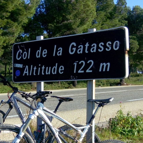
24 km | 34 km-effort

V.T.T.

Marche
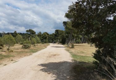
Marche
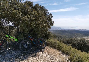
V.T.T.
Marche

Marche

Marche

Marche
Marche
Marche
V.T.T.
Marche
Marche

Marche
V.T.T.
Marche

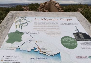
A pied
V.T.T.
Marche
V.T.T.
V.T.T.