rigol05

Offline

Randonnées

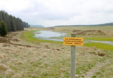
Randonnée Marche Aydat - Aydat lac et marais - Photo
Marche
rigol05

Marche

Facile
Aydat, Auvergne-Rhône-Alpes, Puy-de-Dôme, France
6,9 km | 8,1 km-effort
Inconnu
Oui
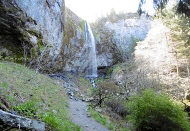
Randonnée Marche Mont-Dore - Mont-Dore Grande cascade - Photo
Marche
rigol05

Marche

Facile
(1)
Mont-Dore, Auvergne-Rhône-Alpes, Puy-de-Dôme, France
4,7 km | 8,4 km-effort
Inconnu
Oui
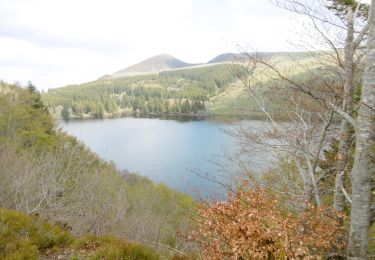
Randonnée Marche Orcival - Tour du lac de Guéry - Photo
Marche
rigol05

Marche

Très facile
Orcival, Auvergne-Rhône-Alpes, Puy-de-Dôme, France
2,7 km | 3,6 km-effort
Inconnu
Oui
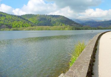
Randonnée Marche Chambon-sur-Lac - Tour du lac Chambon - Photo
Marche
rigol05

Marche

Très facile
Chambon-sur-Lac, Auvergne-Rhône-Alpes, Puy-de-Dôme, France
3,6 km | 4,4 km-effort
Inconnu
Oui
Randonnée Marche Besse-et-Saint-Anastaise - Boucle lac Pavin Puy de Montchal - Photo
Marche
rigol05

Marche

Très facile
Besse-et-Saint-Anastaise, Auvergne-Rhône-Alpes, Puy-de-Dôme, France
13,5 km | 18,6 km-effort
Inconnu
Oui
Randonnée A pied La Roque-d'Anthéron - Chât.de Janson Vallon du Ru - Photo
A pied
rigol05

A pied

Très facile
La Roque-d'Anthéron, Provence-Alpes-Côte d'Azur, Bouches-du-Rhône, France
13,5 km | 17,5 km-effort
Inconnu
Oui
Randonnée A pied La Roque-d'Anthéron - Petite Camargue - Silvacane - Photo
A pied
rigol05

A pied

Très facile
La Roque-d'Anthéron, Provence-Alpes-Côte d'Azur, Bouches-du-Rhône, France
16 km | 17,6 km-effort
Inconnu
Non
Randonnée A pied Saint-Geniez - Autour du Dromont - Photo
A pied
rigol05

A pied

Très facile
Saint-Geniez, Provence-Alpes-Côte d'Azur, Alpes-de-Haute-Provence, France
12,9 km | 19,9 km-effort
Inconnu
Oui
Randonnée A pied La Freissinouse - Balcon de Pelleautier - Photo
A pied
rigol05

A pied

Très facile
La Freissinouse, Provence-Alpes-Côte d'Azur, Hautes-Alpes, France
9,2 km | 12,1 km-effort
Inconnu
Oui
Randonnée A pied La Freissinouse - Freissinouse Pelleautier lac - Photo
A pied
rigol05

A pied

Très facile
La Freissinouse, Provence-Alpes-Côte d'Azur, Hautes-Alpes, France
9,1 km | 12,2 km-effort
Inconnu
Oui
Randonnée A pied La Roche-des-Arnauds - Autour du bois du Devès - Photo
A pied
rigol05

A pied

Très facile
La Roche-des-Arnauds, Provence-Alpes-Côte d'Azur, Hautes-Alpes, France
11,3 km | 19,8 km-effort
Inconnu
Oui
Randonnée Marche Balaruc-le-Vieux - Mgn.de la Gardiole - Photo
Marche
rigol05

Marche

Facile
Balaruc-le-Vieux, Occitanie, Hérault, France
12,8 km | 18,4 km-effort
3h 58min
Oui
Randonnée Marche La Roche-des-Arnauds - Crête de Matacharre Pic Chauve - Photo
Marche
rigol05

Marche

Difficile
(1)
La Roche-des-Arnauds, Provence-Alpes-Côte d'Azur, Hautes-Alpes, France
11,8 km | 23 km-effort
4h 39min
Oui
Randonnée Marche Douarnenez - visire Douarnenez - Photo
Marche
rigol05

Marche

Très facile
Douarnenez, Bretagne, Finistère, France
3,7 km | 4,4 km-effort
57min
Oui
Randonnée Marche Le Dévoluy - Boucle estivale domaine du Dévoluy - Photo
Marche
rigol05

Marche

Moyen
Le Dévoluy, Provence-Alpes-Côte d'Azur, Hautes-Alpes, France
10,9 km | 18,3 km-effort
3h 45min
Oui
Randonnée Marche Gap - Balcon gapençais sous les crêtes de Charance - Photo
Marche
rigol05

Marche

Moyen
Gap, Provence-Alpes-Côte d'Azur, Hautes-Alpes, France
12,5 km | 18,3 km-effort
3h 53min
Oui
Randonnée Marche Roquefeuil - Boucle Pics du Midi et de Sarrasis - Photo
Marche
rigol05

Marche

Moyen
Roquefeuil, Occitanie, Aude, France
11,3 km | 17 km-effort
3h 32min
Oui
Randonnée Marche Camurac - Boucle crêtes de Camurac - Photo
Marche
rigol05

Marche

Moyen
Camurac, Occitanie, Aude, France
14,2 km | 23 km-effort
4h 41min
Oui
Randonnée Marche Belcaire - Pic des Rives - Photo
Marche
rigol05

Marche

Facile
Belcaire, Occitanie, Aude, France
6,4 km | 11,8 km-effort
2h 22min
Oui
Randonnée Marche Saint-Julien-en-Beauchêne - Boucle d'Or Quigouret - Photo
Marche
rigol05

Marche

Très facile
Saint-Julien-en-Beauchêne, Provence-Alpes-Côte d'Azur, Hautes-Alpes, France
9,5 km | 19 km-effort
Inconnu
Oui
Randonnée Marche La Roche-des-Arnauds - Crête de Matacharre Pic Chauve - Photo
Marche
rigol05

Marche

Très facile
La Roche-des-Arnauds, Provence-Alpes-Côte d'Azur, Hautes-Alpes, France
11,8 km | 23 km-effort
Inconnu
Oui

Fermer
Mes abonnements