


8,2 km | 11,5 km-effort


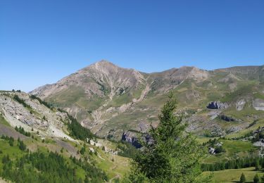
Trail
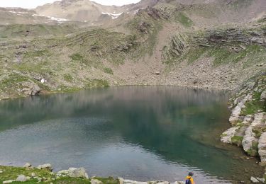
Trail
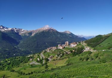
Trail
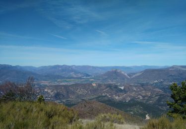
Trail
Trail
Trail
Trail
Trail
Marche


sport
Marche
Marche
Course à pied
Trail
Trail
Trail
Trail
Trail
Trail
Trail
Trail