


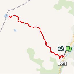

16,7 km | 31 km-effort


Utilisateur


Application GPS de randonnée GRATUITE
 SityTrail
IGN / Instituts géographiques
SityTrail World
Le monde est à vous
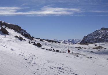
Randonnée Marche de 10,6 km à découvrir à Provence-Alpes-Côte d'Azur, Alpes-de-Haute-Provence, Saint-Paul-sur-Ubaye. Cette randonnée est proposée par PatDev.
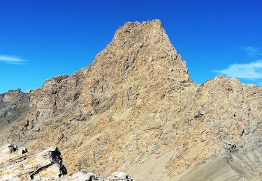
Par temps froid (pour un mois d'août) présence d'un important troupeau de bouquetins au bord du lac vert. Pas farouche on a pu s'en approcher à moins de 10 mètres.

Marche
A pied
Marche

Autre activité
Marche

Marche
Marche
Raquettes à neige
Ski de randonnée