


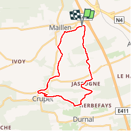


17 km | 23 km-effort

Utilisateur GUIDE


Application GPS de randonnée GRATUITE
 SityTrail
IGN / Instituts géographiques
SityTrail World
Le monde est à vous
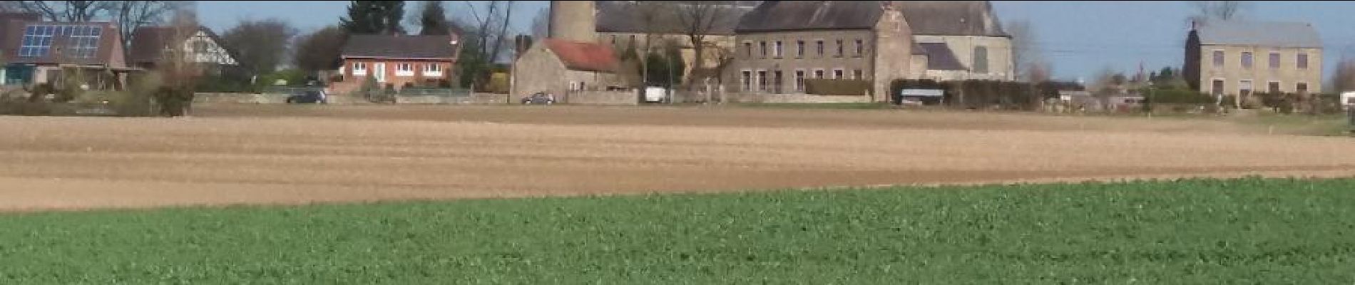
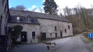
Randonnée Marche de 13,1 km à découvrir à Wallonie, Namur, Assesse. Cette randonnée est proposée par pascalou73.
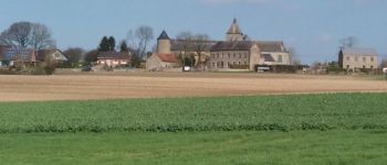
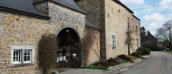
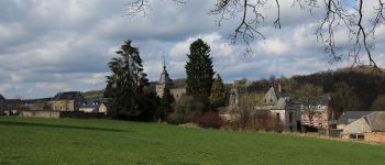
Une très belle randonnée dans la région de Namur dans le village de Courrière .La randonnée va de bois en campagne sur des de très beaux senties .


Marche

Marche

Marche

Marche

Marche

Marche

Marche


Marche